
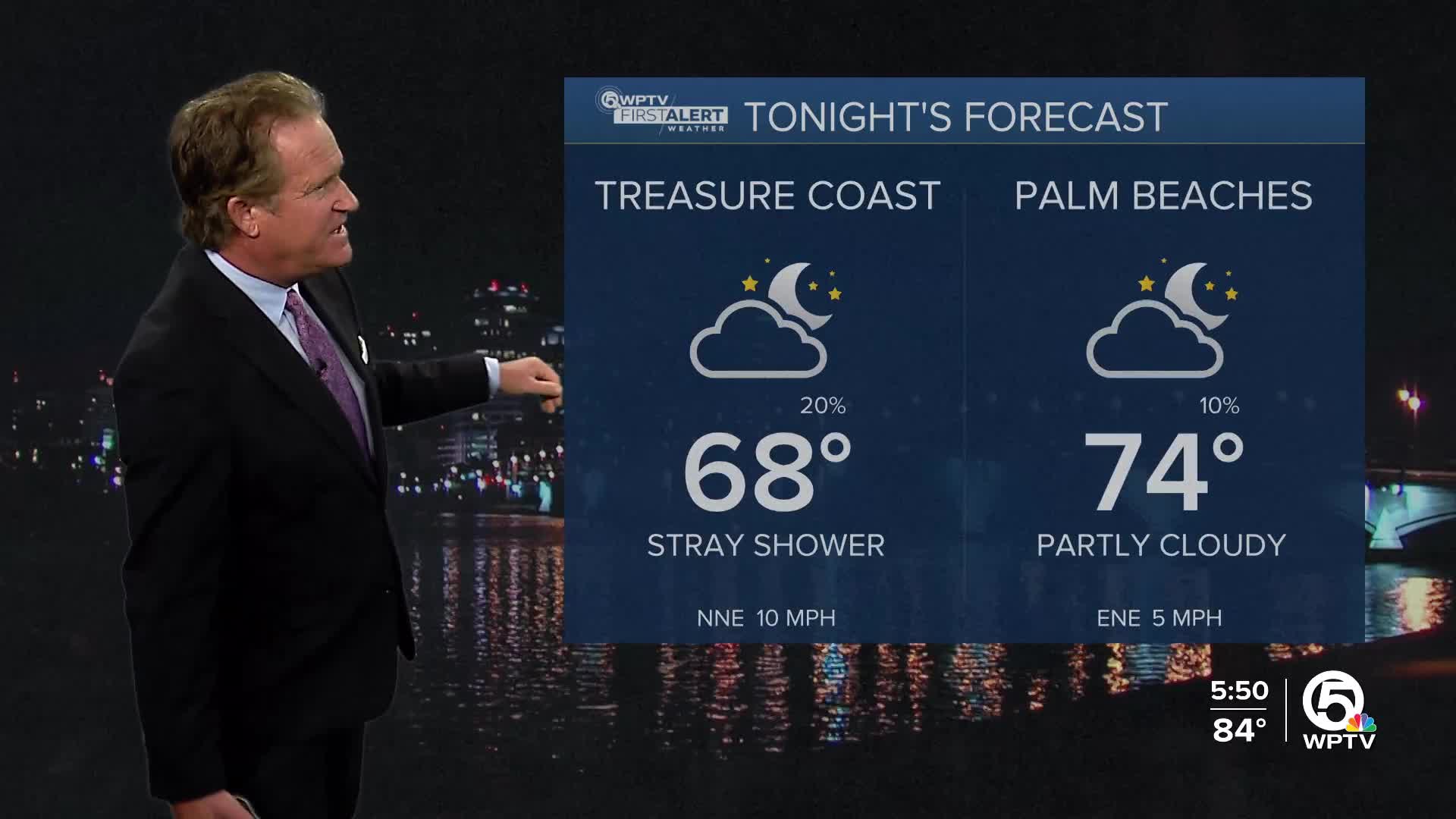


WEST PALM BEACH, Fla. — A stray shower or two is possible late tonight and through Thursday morning, especially in the Treasure Coast and around Lake Okeechobee. Lows will cool down into the 70s overnight.
As we transition into Thursday, a weakening front will sweep into the area bringing in a northeasterly wind pattern reaching about 15-20 mph. Gusts will reach 25 mph along the coast late in the day.
Expect to see deteriorating beach and boating conditions starting late Thursday and lasting through the weekend. Exercise caution if you’re planning to hit the waves.
Looking ahead to the weekend, rain might make a comeback late this weekend. A cold front is approaching and will be here Friday, bringing some breezy to gusty winds that will stick around into early next week.
MORE WEATHER: Radar | Alerts | 7-Day Forecast | Hourly Forecast
Model forecasts show some uncertainty, particularly with Tropical Storm Melissa brewing in the Caribbean.
While it looks like it will stay far to the south of Florida for the next few days, it's something to keep an eye on. Expect rain chances to creep up starting on Monday, with highs dipping a bit to the lower 80s.
**Portions of this story were assisted by artificial intelligence tools and reviewed by a WPTV journalist to ensure accuracy, clarity, and adherence to editorial standards.


