


WEST PALM BEACH, Fla. — Storms are moving offshore, leaving behind cloud cover and cooler temperatures tonight. An isolated shower can't be ruled out tonight and overnight.
MORE WEATHER: Radar | Alerts | 7-Day Forecast | Hourly Forecast
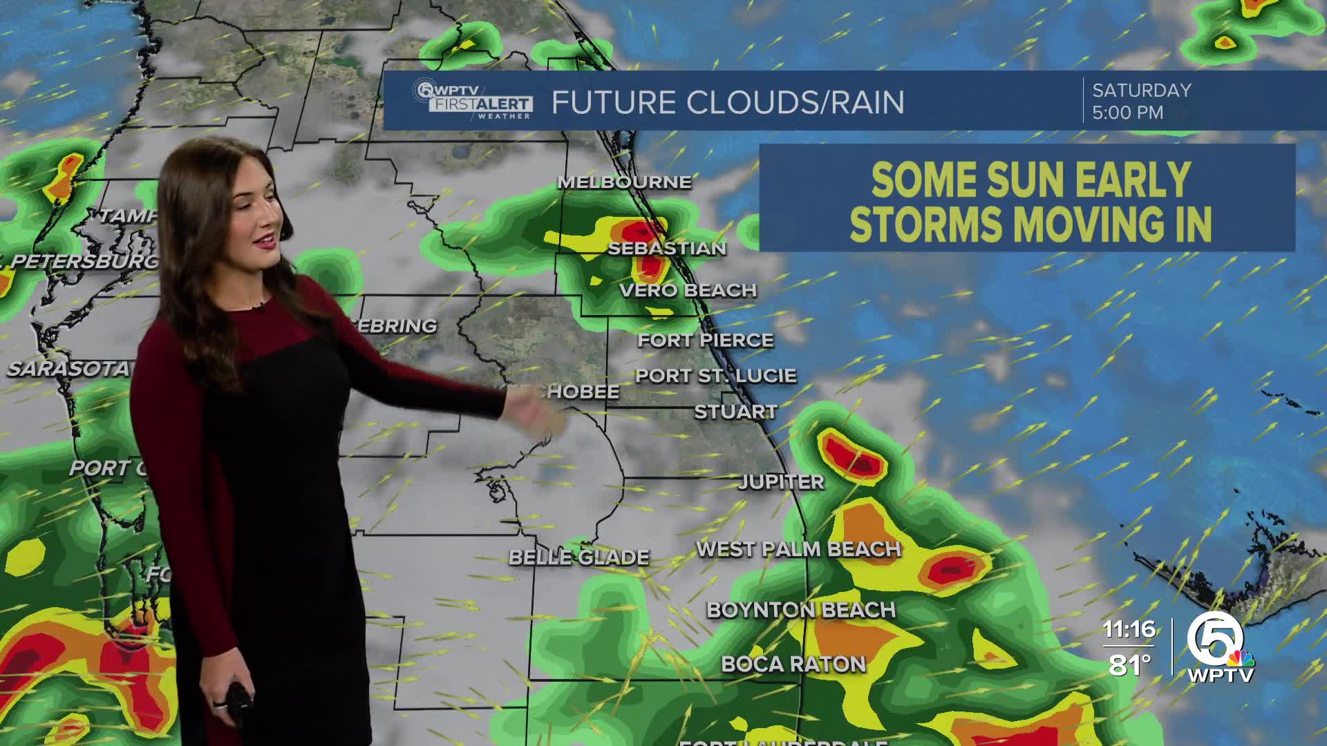
High pressure settles just south, over the Florida Straits and northern Caribbean, so a stream of moisture is locked in our atmosphere. This will keep the chance for storms high each afternoon with a westerly flow that steers storms east, so make sure to keep your umbrella handy every day this weekend.
The westerly flow will continue to keep us hot, plus bring us scattered to widespread each afternoon for the next few days.
High temperatures remain in the mid-90s. The heat index is expected to hit the triple-digits every day. Afternoon storms are forecast for each afternoon through the weekend.

High risk of rip currents continues through the weekend while seas are decreasing back down to 3 to 6 feet. It will still be a bit bumpy on the water.


