
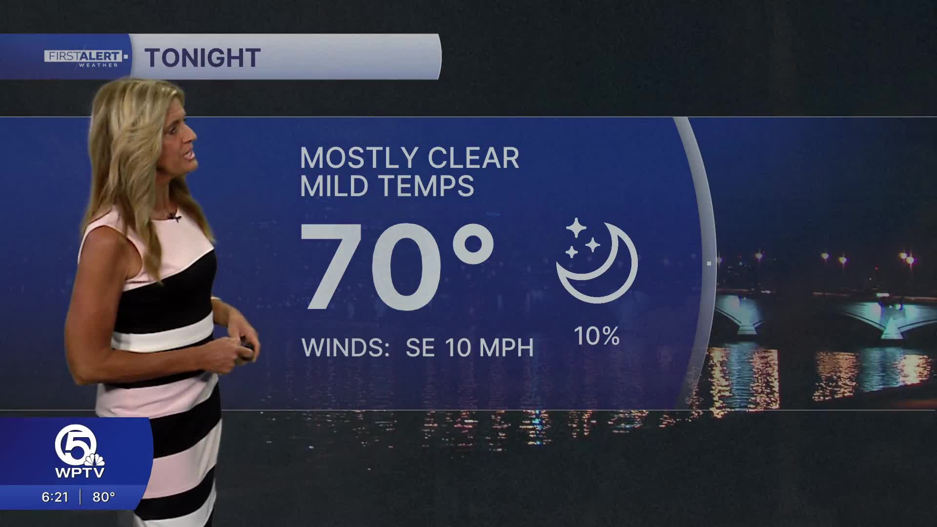


WEST PALM BEACH, Fla. — Temps will stay mild through Saturday morning with overnight lows in the upper 60s near the coast and lower 60s inland.
Saturday starts warm and mostly sunny with dry conditions through most of the day. By early evening, a strong late-season front approaches South Florida bringing gusty winds and some rain.
MORE WEATHER: Radar | Alerts | 7-Day Forecast | Hourly Forecast
Early morning and late-night fog may develop in some inland spots near Lake Okeechobee and across the Treasure Coast, but overall visibility issues should be limited and short-lived.
The weather pattern begins to shift on Saturday as a cold front quickly approaches from the north. Moisture increases and scattered showers become more common late Saturday night. While thunderstorm chances remain relatively low, a few heavier downpours are possible at times. Temperatures will still reach the 80s for many areas, though a noticeable difference begins to develop between northern and southern zones as slightly cooler air starts filtering in behind the front.
By Saturday afternoon and especially into Sunday, the biggest story becomes the wind. Strong northeast winds will ramp up quickly across the region, with sustained speeds high enough to create widespread gusty conditions along the coast. From Jupiter to Vero Beach and inland toward the lake, gusts could frequently reach levels that make outdoor activities difficult at times.
As the front settles into South Florida on Sunday, periods of showers continue, with the greatest coverage likely focused from the Treasure Coast and around Lake Okeechobee. While severe weather is not expected, the combination of gusty winds and pockets of heavier rain could lead to minor localized flooding in poor drainage areas.
Temperatures trend cooler behind the front, with highs dropping into the 70s by Sunday afternoon, a noticeable change from the summer-like warmth leading into the weekend.
Marine and beach conditions will deteriorate significantly as the weekend progresses. Increasing northeast winds will build seas rapidly, creating hazardous to dangerous conditions for boaters across the Atlantic waters. Rough surf and a high risk of rip currents will make entering the ocean dangerous, especially along the Palm Beaches and Treasure Coast. Beachgoers are strongly urged to stay out of the water as these conditions develop.


