
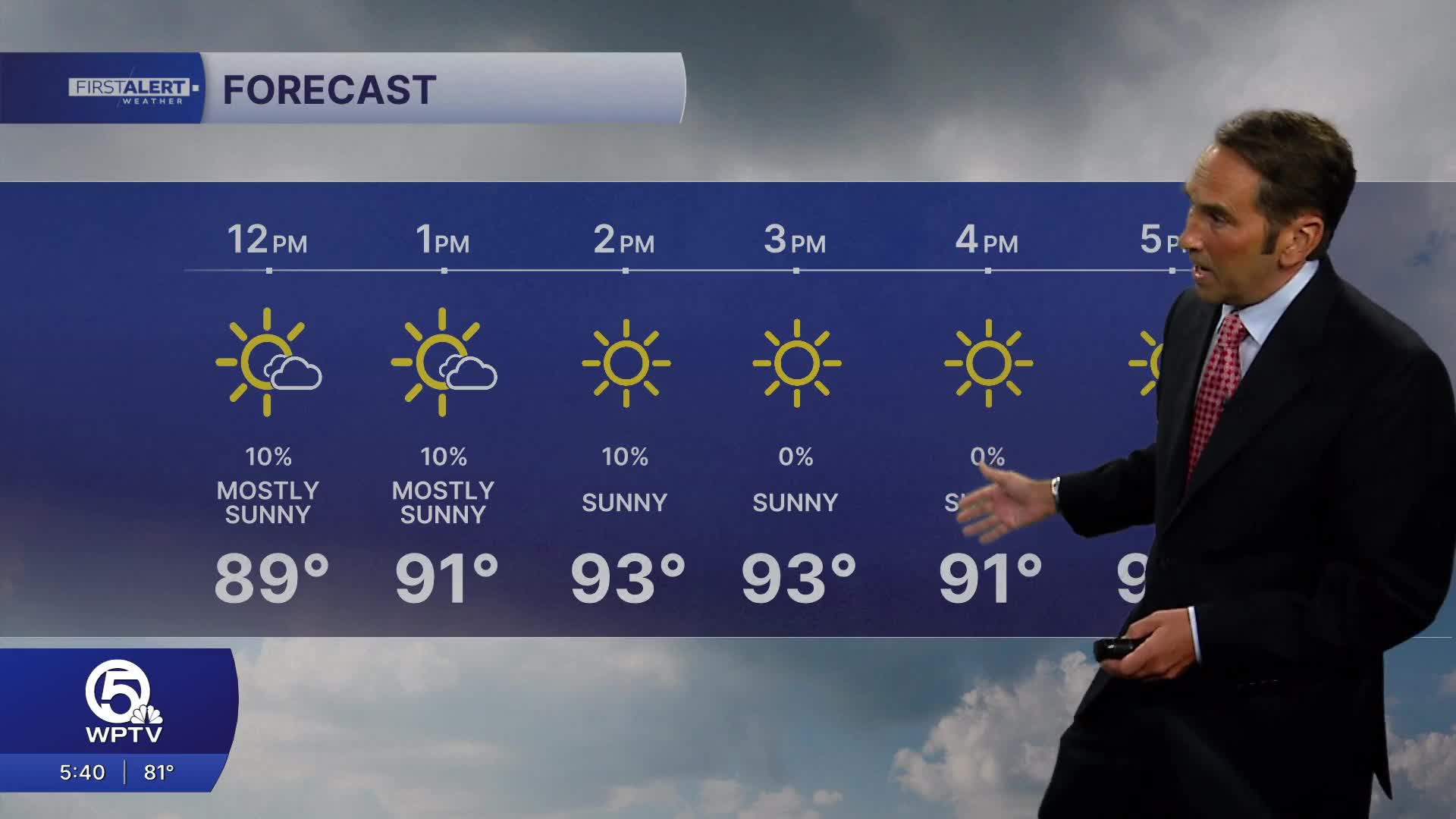


WEST PALM BEACH, Fla. — Warm, tropical weather continues across the region today with a mix of sunshine and building afternoon clouds. Expect highs in the lower 90s along the coast and the low to mid 90s inland. When combined with the high humidity, it will feel more like 100 to 105 degrees during the hottest part of the afternoon.
A sea breeze will develop late this morning, helping to keep the immediate beaches a bit cooler while pushing the greatest chance for showers and thunderstorms inland through the afternoon. Most coastal communities will stay dry for much of the day, but scattered storms are expected from western Palm Beach County through inland Martin, St. Lucie, and Indian River counties between about 2 p.m. and 7 p.m.. A few storms could produce frequent lightning, brief heavy downpours, and gusty winds.

Boaters can expect generally favorable conditions with east to southeast winds around 10 to 15 mph and seas of 2 to 3 feet. While most of the day will be suitable for boating, keep a close eye on the western horizon this afternoon as thunderstorms can develop quickly and create dangerous lightning and locally rough seas.
Tonight, any lingering inland storms will fade after sunset, leaving partly cloudy to mostly clear skies with warm and muggy conditions. Overnight lows will remain in the upper 70s to around 80 degrees.
Bottom line: Expect another hot and humid summer day across the Palm Beaches and Treasure Coast. Most beach communities will see plenty of sunshine, while inland areas have the highest chance for late-day thunderstorms. Stay hydrated, limit strenuous outdoor activity during the afternoon heat, and seek shelter immediately if thunder is heard.
MORE WEATHER: Radar | Alerts | 7-Day Forecast | Hourly Forecast
**Portions of this story were assisted by artificial intelligence tools and reviewed by a WPTV journalist to ensure accuracy, clarity, and adherence to editorial standards.


