
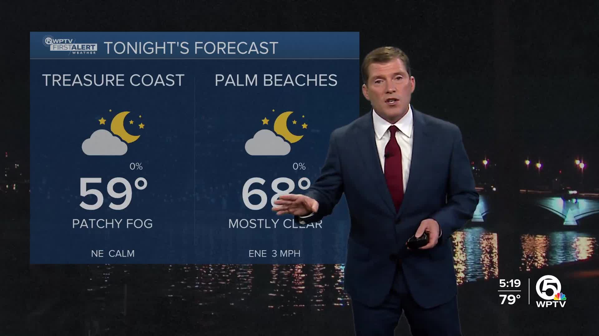


WEST PALM BEACH, Fla. — If you’re an early riser, expect some patchy morning fog over the next few days—possibly dense in a few spots. Once it burns off at about 8-9 a.m., we're in for a stretch of warm, mostly dry weather that lasts well into next week.
High pressure is keeping things calm and pleasant, with afternoon temperatures running above normal: low 80s along the coast and low to mid-80s inland. You’ll notice light winds most days, with a gentle sea breeze kicking up along the coast each afternoon.
MORE WEATHER: Radar | Alerts | 7-Day Forecast | Hourly Forecast
For outdoor plans, it’s a great stretch—perfect for beach walks, bike rides, nature trails, or a relaxed paddle on local waterways.
Overall, it’s shaping up to be a warm, mostly sunshine-filled week and weekend—great for enjoying the outdoors, just keep an eye on the fog early and the rip currents at the beach.

Looking ahead to late this weekend, a weak cold front slides through, shifting winds to the north. It won't bring much cooling and no real rain. By midweek, winds turn back onshore, and while a stray shower may move in from the Atlantic Tuesday or Wednesday, most areas should stay dry. Thanksgiving is still a bit uncertain, but early signs point to a mild to warm holiday with only small shower chances. Next stronger cold front may not come until Thanksgiving weekend.
If you’re heading out on the water, boating conditions stay favorable through Saturday with light, variable winds and seas around 1–2 feet, increasing slightly to 3 feet in the Gulf Stream Sunday into Monday as winds shift. Just one safety note: there’s a moderate Risk of rip currents on the Treasure Coast, so use caution if you plan on getting in the water.
**Portions of this story were assisted by artificial intelligence tools and reviewed by a WPTV journalists to ensure accuracy, clarity, and adherence to editorial standards.


