

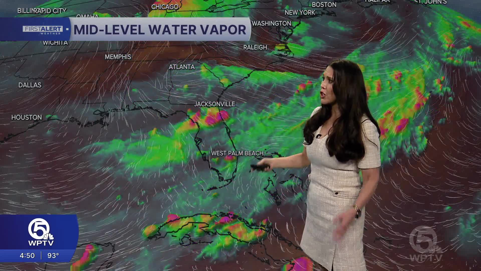


WEST PALM BEACH, Fla. — Palm Beach County and the Treasure Coast will stay in a typical midsummer pattern through the week, with warm, humid mornings and scattered to numerous showers and thunderstorms developing each afternoon and evening.
The main change is a gradual uptick in rain coverage from Tuesday into midweek as deeper tropical moisture spreads back across South Florida.
MORE WEATHER: Radar | Alerts | 7-Day Forecast | Hourly Forecast
Be prepared for scattered thunderstorms from mid-afternoon through early evening. Highs will reach up to 92 degrees. Any storm may produce brief torrential rain, gusty winds of 30–40 mph, and frequent lightning. Activity diminishes a few hours after sunset.
There will be a higher chance of rain Tuesday, with numerous afternoon and evening showers and thunderstorms expected and with the greatest coverage from the Palm Beaches north through Martin, St. Lucie, and Indian River counties.
Wednesday will be the wettest day with widespread showers, and Thursday will continue to be unsettled.
**Portions of this story were assisted by artificial intelligence tools and reviewed by a WPTV journalist to ensure accuracy, clarity, and adherence to editorial standards.


