
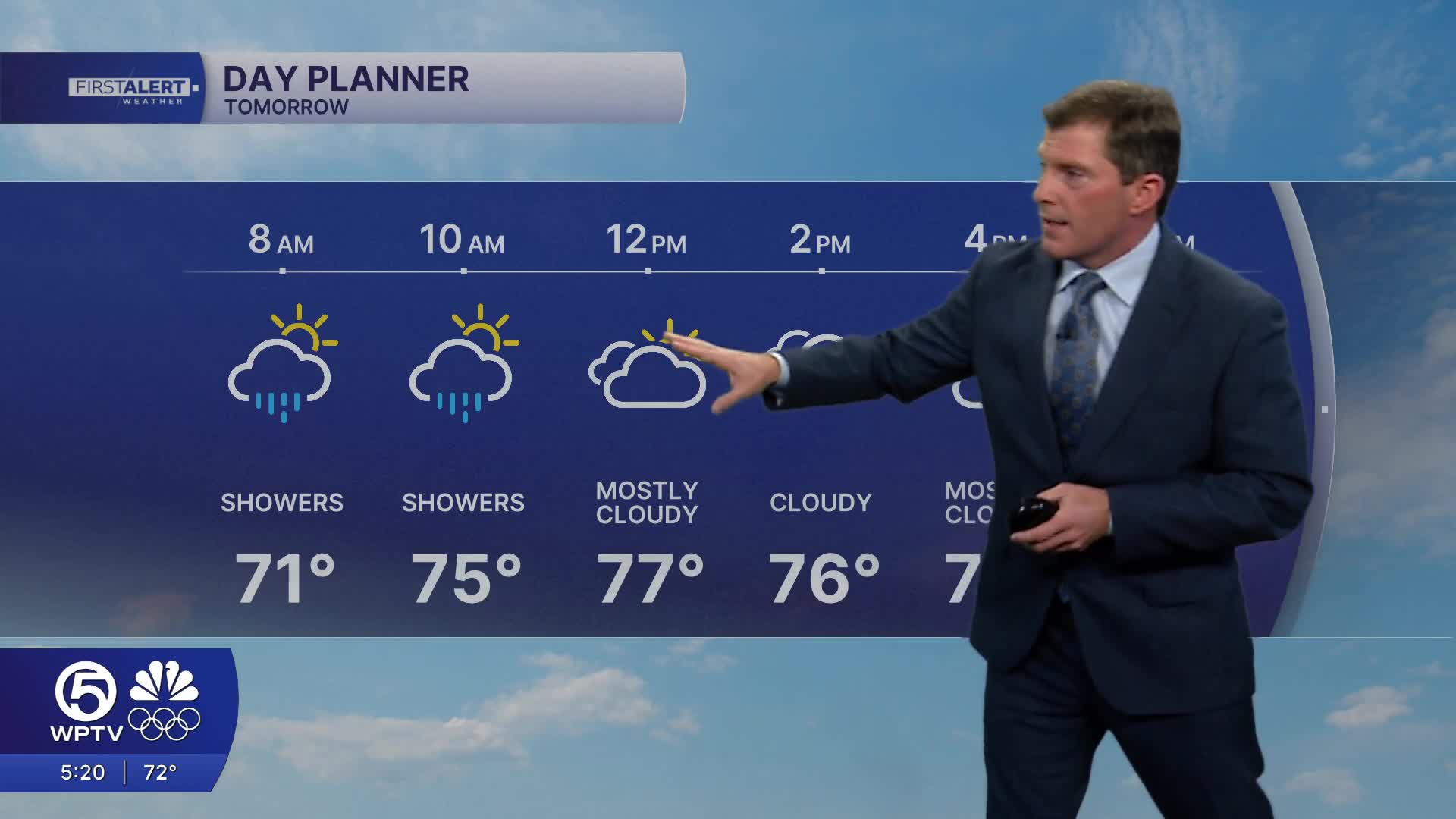


WEST PALM BEACH, Fla. — Winds will begin to ease tonight into Thursday, but moisture continues to build. That sets the stage for a better chance of showers on Thursday, again favoring the eastern half of the region.
While the day will be mainly cloudy, spotty showers and a few rumbles of thunder can't be ruled out— especially over the Atlantic waters and nearby coastal areas during the afternoon. Temperatures will continue to climb, reaching the upper 70s along the east coast and around 80 further inland.
MORE WEATHER: Radar | Alerts | 7-Day Forecast | Hourly Forecast
Looking ahead to the weekend, the weather turns warmer and generally quieter. Any lingering showers on Friday or Saturday should be brief and isolated, with more sunshine and rising temperatures becoming the main story. By Sunday, South Florida moves into a warm and mostly dry pattern ahead of an approaching cold front, pushing highs well into the 80s in some areas.
That front is expected to move through sometime on Monday with a slight chance of showers, though its exact timing and impacts will become clearer as we get closer.
**Portions of this story were assisted by artificial intelligence tools and reviewed by a WPTV journalists to ensure accuracy, clarity, and adherence to editorial standards.


