


WEST PALM BEACH, Fla. — High pressure continues to build in over the next few days, keeping skies mostly clear and rain chances near zero— while temperatures slowly warm up after recent cold conditions.
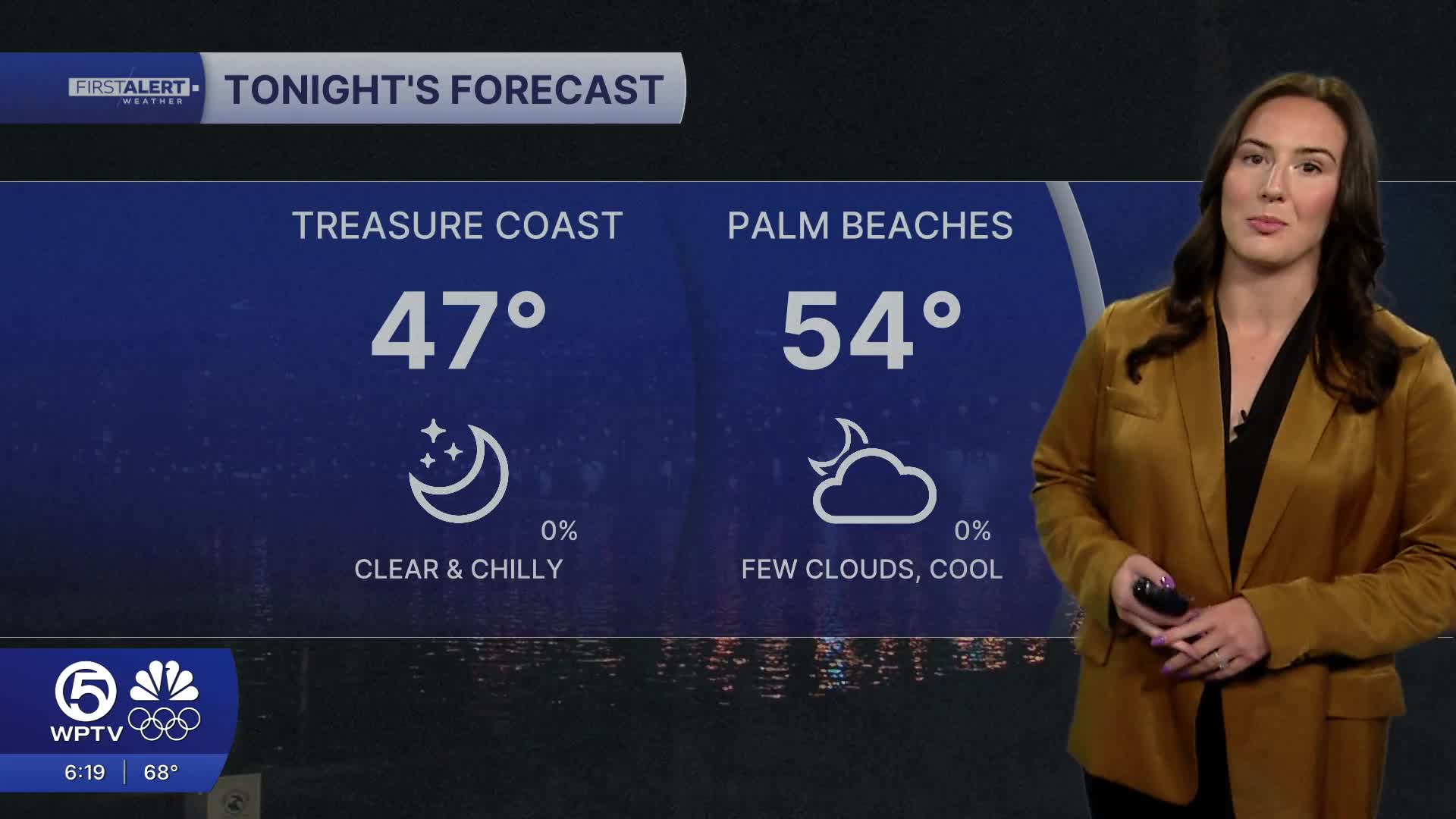
The nights will still be on the chillier side with lows in the mid 40s inland and in the Treasure Coast to mid 50s for the Palm Beaches. However, during the day, temperatures will rebound into the mid-upper 70s and even the lower 80s later in the week.

With the nice weather, be careful in and on the water as there are multiple beach and boating hazards. Dangerous rip currents are possible along our beaches through Monday. The small craft advisory in effect for the coastal waters near Palm Beach County will expire late tonight, but it will still be bumpy on Monday.
MORE WEATHER: Radar | Alerts | 7-Day Forecast | Hourly Forecast
As we look towards next weekend, rain chances will increase as our next cold front arrives. Details are still being ironed out as models are split on how much rain it will bring us. Regardless of how strong the front is, we aren't expecting any near freezing temperatures anytime soon.


