



WEST PALM BEACH, Fla. — It was a hot Sunday with temperatures reaching up to 89-92°across the area— making it the warmest day so far this year for Vero Beach.
Storms have pushed offshore and skies will clear out overnight. It will be a mildly-warm night with lows in the upper 60s-lower 70s.
MORE WEATHER: Radar | Alerts | 7-Day Forecast | Hourly Forecast
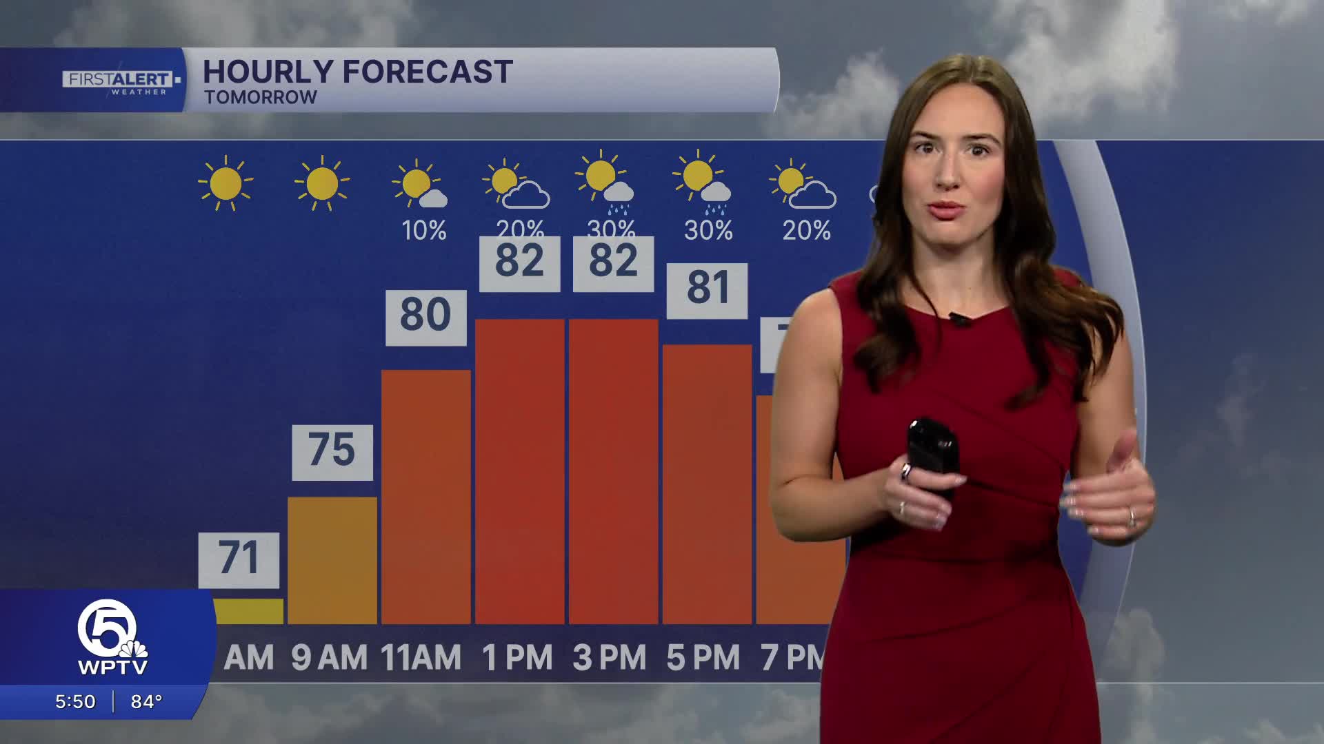
Monday starts off sunny and pleasant. By the afternoon, a weak cold front will approach the region bringing in more clouds and a few showers. The thunderstorm risk looks to be on the low-side, but a few rumbles of thunder can't be ruled out. Highs will reach the mid 80s.
Beach and boating will worsen on Monday behind the front. That means the rip current risk will be high and boating will become poor over the Gulf stream as we head into Tuesday.
You won't feel much of a difference behind the front, but as high pressure builds in behind it, the weather will be mainly dry and mostly sunny for Tuesday and Wednesday.

That high will also allow for temperatures to gradually increase each day this week. By the end of the work week, highs will be in the upper 80s with some inland spots reaching the lower 90s.


