


WEST PALM BEACH, Fla. — South Florida will see steamy temps through the rest of the week with mainly dry conditions, and plenty of sunshine. Temps will peak in the upper 80s on Thursday and soaring into the low 90s by Saturday.

A northeast swell will keep a high risk of rip currents in place through Thursday evening. Please be careful - and always swim at a guarded beach.
As we move into the later portions of the week and early weekend, our winds veer to the southwest. This land breeze will heat up the east coast metro areas. Thursday could see a small uptick in isolated showers, but Friday and Saturday are shaping up to be hot, mostly dry, and even a bit steamy with humidity increasing.
Temperatures will remain well above normal, with some spots possibly reaching the low-90s by Saturday.

Looking ahead to the second half of the weekend and early next week, changes are on the horizon. A developing system moving in from the Gulf is expected to drag a front closer to South Florida, increasing the chances for showers and thunderstorms across the region.
While the exact timing and intensity is still uncertain, the trend points toward a wetter pattern returning by Sunday and into early next week. It’s a good idea to enjoy the dry stretch now, as more unsettled weather may soon take its place.
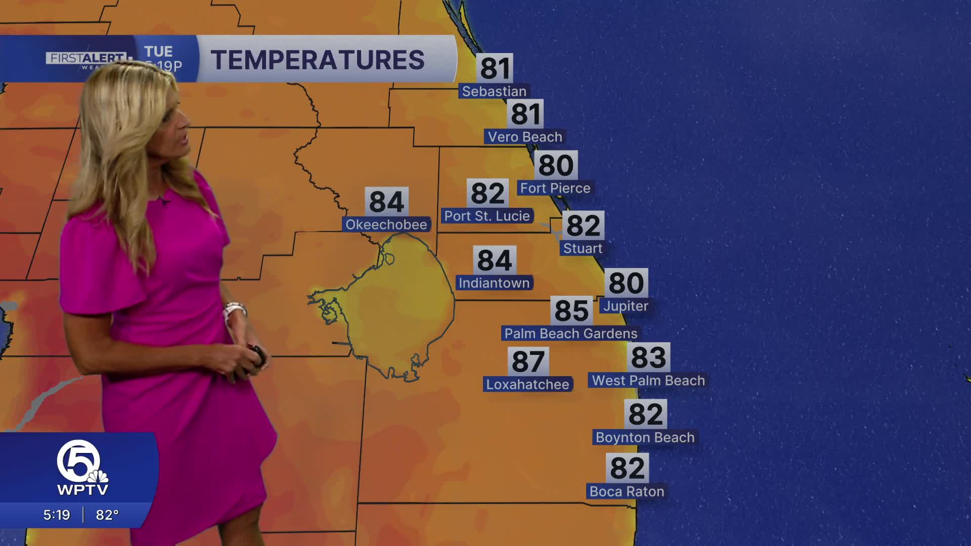
Temps will drop back down to seasonal levels Monday and Tuesday with highs expected in the low 80s.
MORE WEATHER: Radar | Alerts | 7-Day Forecast | Hourly Forecast
**Portions of this story were assisted by artificial intelligence tools and reviewed by a WPTV journalist to ensure accuracy, clarity, and adherence to editorial standards.


