

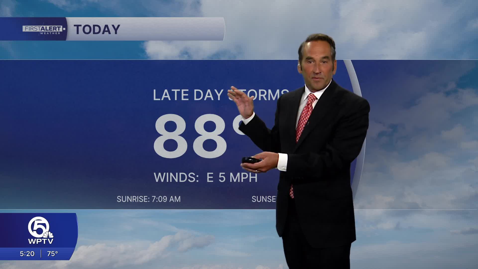


WEST PALM BEACH, Fla. — More storms are on the way as a very moist and unsettled pattern takes hold. Expect a mix of clouds, sunshine, and scattered to numerous showers and thunderstorms, with the greatest coverage generally from late morning through the afternoon. Some storms could produce very heavy downpours, frequent lightning, and gusty winds, with slow-moving storms capable of producing localized flooding.
Monday–Tuesday: Storm coverage increases, with periods of heavy rain possible. It will remain humid, with highs generally in the upper 80s. Be prepared for sudden downpours that can quickly waterlog streets.

Towards the middle of the week, the unsettled pattern continues, with more moisture and additional rounds of showers and thunderstorms. Storms may develop at times outside the typical afternoon window as moisture remains abundant.
The bigger concern shifts toward the coast and Atlantic waters towards the end of the week. Seas and surf are expected to pick up toward the end of the week, especially as winds become more persistent from the east to northeast. That can mean rougher conditions for boaters, higher surf, and an increasing rip-current threat. Conditions will be especially dangerous near thunderstorms, where winds and seas can become suddenly stronger.
**Portions of this story were assisted by artificial intelligence tools and reviewed by a WPTV journalists to ensure accuracy, clarity, and adherence to editorial standards.
MORE WEATHER: Radar | Alerts | 7-Day Forecast | Hourly Forecast


