


WEST PALM BEACH, Fla. — South Florida is getting a noticeable cool-down this week as a long-awaited cold front has pushed through the region.
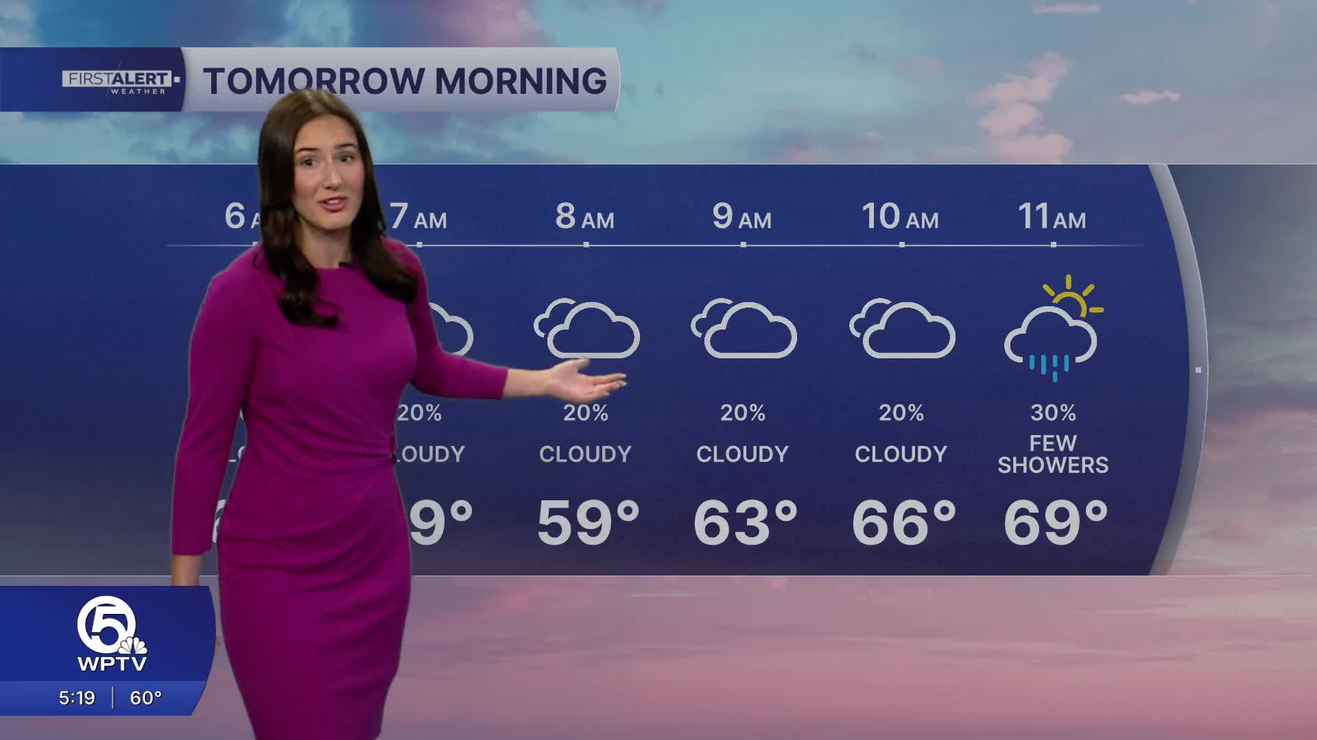
It will be cloudy and chilly overnight with a few, light showers possible. Temperatures are dropping below average, with overnight lows dipping into the 50s—especially inland where temperature may fall into the lower 50s.
Cloud cover will help keep temperatures down throughout the day, while a lingering pocket of moisture could spark brief, spotty showers Wednesday— but nothing widespread.
Thursday will offer a little more sunshine, allowing for slightly warmer temperatures. However, isolated to spotty showers are possible through the rest of the work week.
MORE WEATHER: Radar | Alerts | 7-Day Forecast | Hourly Forecast
By the weekend, the atmosphere dries out, rain chances drop to near zero, and the temps rebound back to near 80. If you’re heading to the water, take note: hazardous boating conditions are in play as winds and seas build in the wake of the front.
Beachgoers should also be cautious, with a high risk of rip currents through the rest of the week.
*Portions of this story were assisted by artificial intelligence tools and reviewed by a WPTV journalist to ensure accuracy, clarity, and adherence to editorial standards.


