



WEST PALM BEACH, Fla. — We are not under a marginal risk of severe weather Thursday (like we were yesterday) However, a few storms could be strong with gusty winds, heavy downpours, excessive lightning, and small hail.
MORE WEATHER: Radar | Alerts | 7-Day Forecast | Hourly Forecast
The strongest storms will push inland late in the day, but a few storms could drift back towards the coast by early evening.
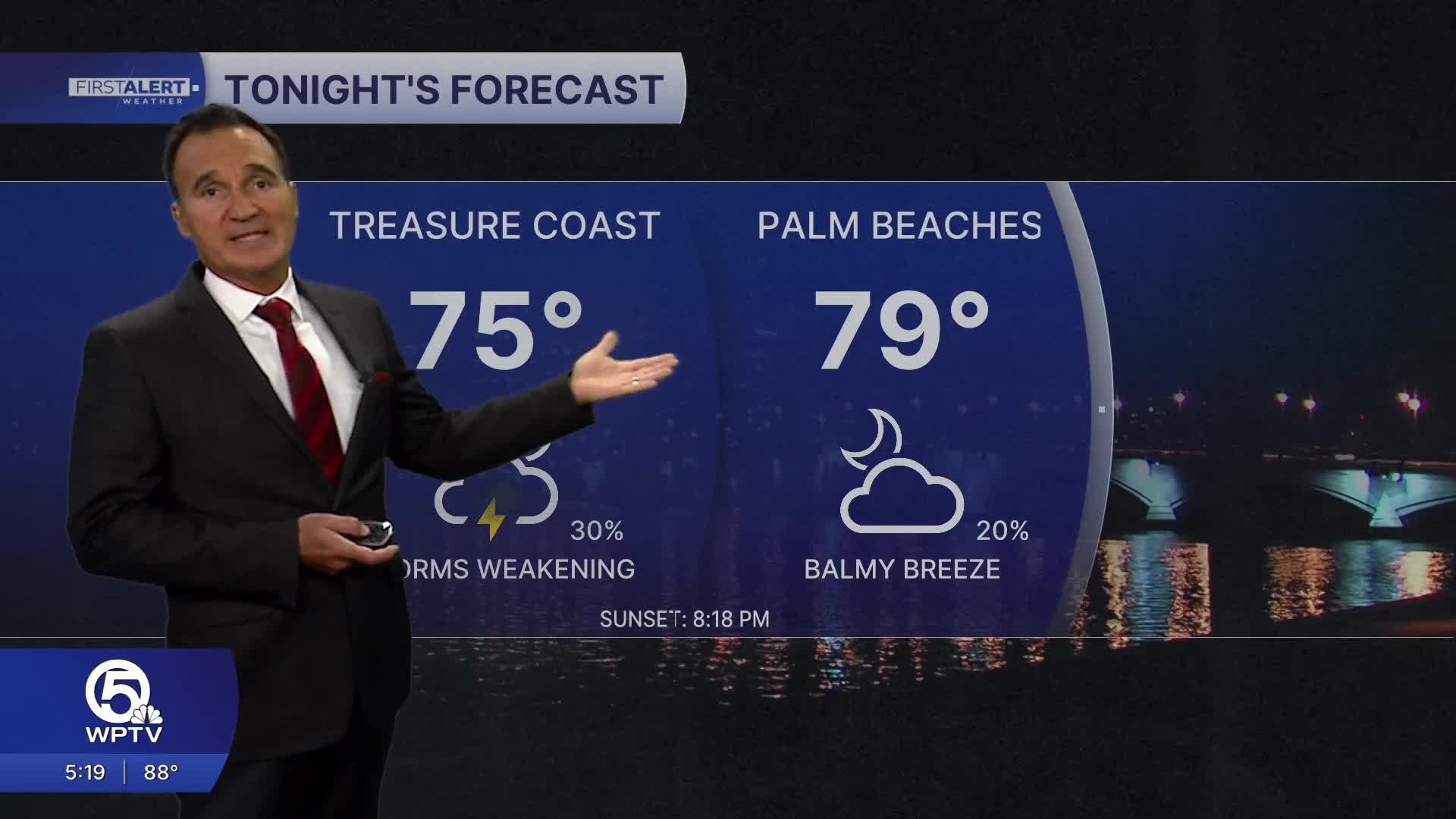
We look to stay mainly dry after 8 p.m. with mostly clear skies and balmy breezes.
Lows tonight drop into the upper 70s near the coast and mid 70s inland.
A Saharan air layer moving in the area will help drop storm coverage down to 20% for the weekend.
Boating conditions stay favorable with seas 1-2 feet and a light chop on our inland waterways.


