

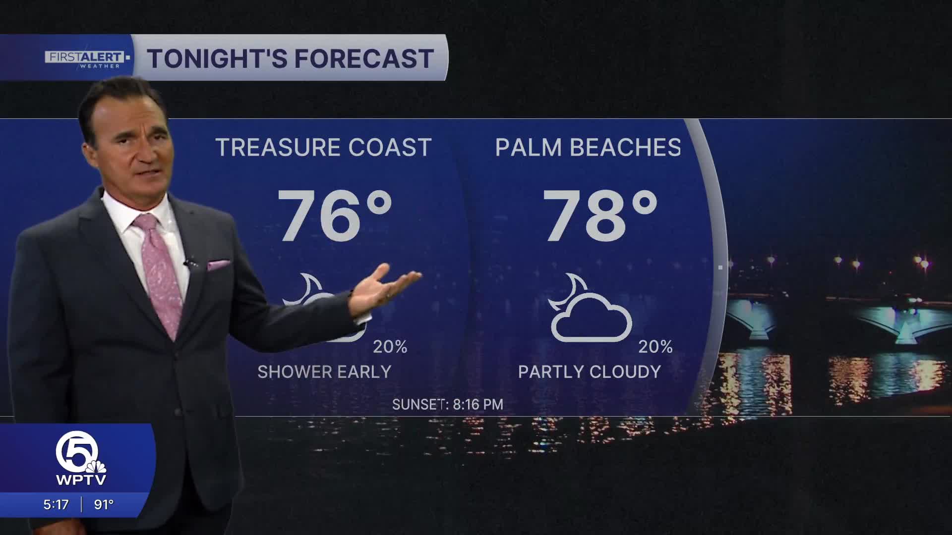


WEST PALM BEACH, Fla. — What to expect:
- Storms: Scattered thunderstorms peaking mid-afternoon through early evening
- Tonight: Partly cloudy and muggy, only cooling to the low 80s
Not everyone will get rain, but any storms that do pop up could pack a punch — expect heavy downpours, lots of lightning, wind gusts over 40 mph and some street flooding.
The air will stay hazy thanks to Saharan dust, which might actually keep storm coverage lighter than usual. Most storms should fade after sunset.
More of the same summer pattern ahead for the weekend. Each day starts sunny (with some haze), then clouds build through the afternoon. Highs will hover around 91-93°F, but with humidity it'll feel over 105 degrees before storms develop.
Expect scattered afternoon and evening thunderstorms, starting inland then drifting toward the coast. Some could turn strong with gusty winds and heavy rain.
Stay hydrated, have an indoor backup plan for afternoon activities and keep an eye on the sky!
**Portions of this story were assisted by artificial intelligence tools and reviewed by a WPTV journalist to ensure accuracy, clarity, and adherence to editorial standards.


