

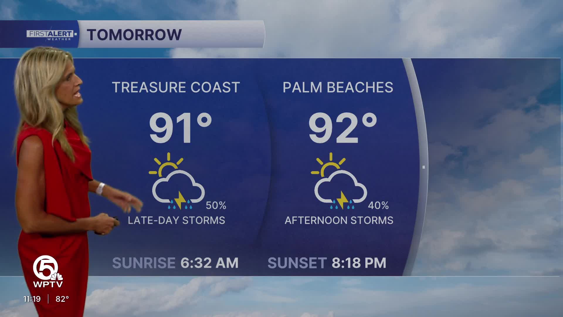


WEST PALM BEACH, Fla. — Sunday morning starts with temps in the mid 70s inland to near 80 degrees at the Palm Beach County coastline. Skies will be mostly sunny with dry conditions.
Showers and storms will start to develop along the east coast seabreeze during the early afternoon hours. With a little drier air in place on Sunday - storm coverage stays a little lower than Saturday around 40%.
High temperatures will climb into the lower 90s with heat index values remaining in the triple digits.
A heat advisory may be issued for heat indices between 105 degrees and 110 degrees.
Any storm that develops could produce frequent lightning, heavy downpours, and wind gusts up to 45 to 50 mph. Slow-moving storms may also lead to pockets of minor flooding, especially in poor drainage and urban areas.
MORE WEATHER: Radar | Alerts | 7-Day Forecast | Hourly Forecast
Showers and storms will start to develop along the east coast seabreeze during the early afternoon hours. With a little drier air in place on Sunday - storm coverage stays a little lower than Saturday around 40%.
Any storm that develops could produce frequent lightning, heavy downpours, and wind gusts up to 45 to 50 mph. Slow-moving storms may also lead to pockets of minor flooding, especially in poor drainage and urban areas.
Activity will wind down by early evening with just a slight chance of a few showers overnight.
The active summer pattern is expected to continue into early next week with daily opportunities for afternoon storms and little relief from the heat.
Rain chances start to decrease by mid-week.


