
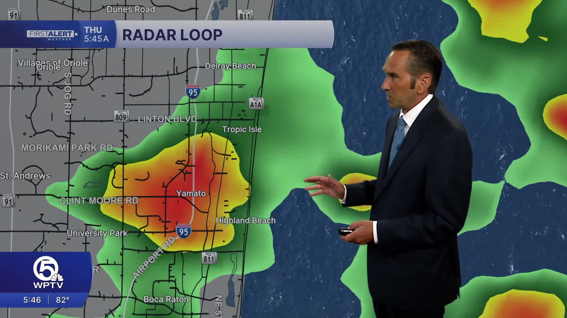


WEST PALM BEACH, Fla. — Scattered showers this morning, with rain chances increasing through the late morning and afternoon. Expect numerous showers and thunderstorms to develop along the sea breeze, with the greatest coverage inland before some storms drift back toward the coast during the evening. A few storms could produce frequent lightning, heavy downpours, and gusty winds, leading to brief ponding of water on roadways.
High temperatures will reach the mid to upper 80s along the beaches and upper 80s to around 90 degrees inland. While temperatures are a bit lower thanks to the clouds, humidity will keep it feeling closer to the mid to upper 90s during the afternoon. Southeast winds will increase to 10 to 15 mph near the coast.
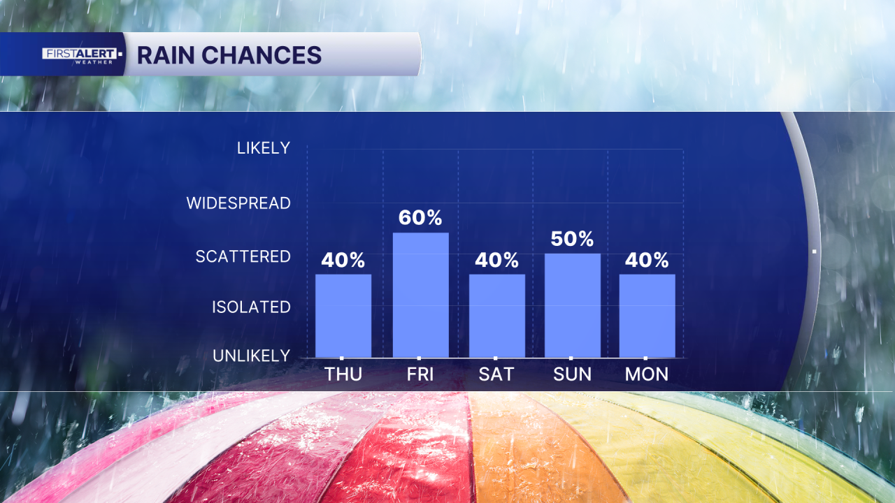
Rain chances remain elevated into this evening before activity gradually tapers off after sunset, leaving partly cloudy skies overnight with warm and muggy conditions. Overnight lows will settle into the lower 80s.
Fourth of July weekend calls for daily showers and thunderstorms but most of the time it'll be dry. In fact, it looks dry for the 9pm firework show times, be safe, enjoy.

MORE WEATHER: Radar | Alerts | 7-Day Forecast | Hourly Forecast
**Portions of this story were assisted by artificial intelligence tools and reviewed by a WPTV journalists to ensure accuracy, clarity, and adherence to editorial standards.


