

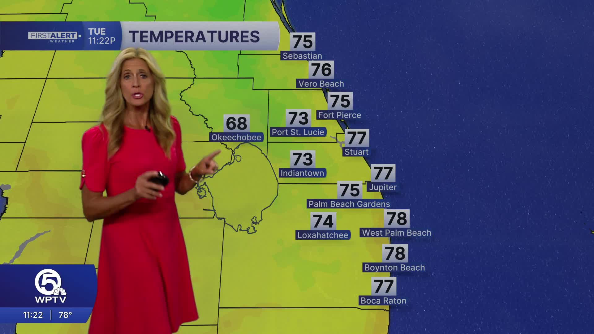


WEST PALM BEACH, Fla. — The heat is on! A strong ridge of high pressure in the mid and upper levels of the atmosphere will usher in dry conditions for the next few days along with unseasonably hot temps.
MORE WEATHER: Radar | Alerts | 7-Day Forecast | Hourly Forecast
This ridge will suppress our rain chances while allowing temperatures to climb into the low to mid 90s by Wednesday and Thursday, with some locations approaching daily record highs. Spots along the immediate coast may top out in the upper 80s with a little relief from the sea breeze.
Looking ahead, a weak front approaching from the north late in the week is expected to stall near the region, allowing moisture to increase and bringing back scattered afternoon showers and storms heading into the weekend, while temperatures remain above normal.
Conditions look great for boating across the area on Wednesday. Expect light easterly winds and minimal surf - around 2 feet. The risk of rip currents drops as well.


