
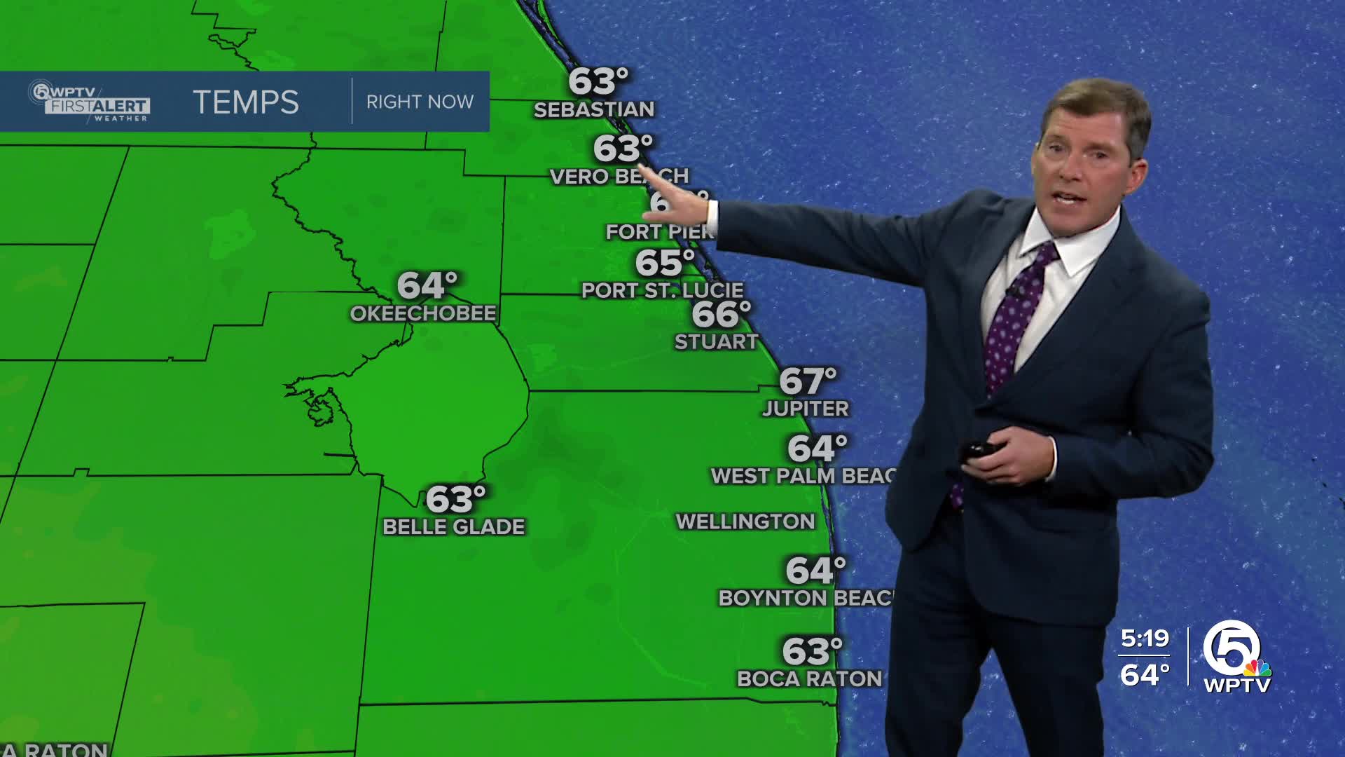


WEST PALM BEACH, Fla. — South Florida is starting the New Year on a chilly note, with a Frost Advisory in effect early this morning for the Lake Okeechobee region and interior areas of South Florida.
Clear skies, calm winds, and dry air have allowed temperatures to drop quickly overnight, leading to patchy frost in Glades, Hendry, inland Collier, and inland Palm Beach counties before temperatures rebound after sunrise.
MORE WEATHER: Radar | Alerts | 7-Day Forecast | Hourly Forecast
Despite plenty of sunshine today, temperatures will stay well below normal. Afternoon highs will only reach the upper 60s to lower 70s, keeping that crisp winter feel around through the day.
Tonight won’t be quite as cold, but it will still be chilly, with lows dipping into the 40s across interior areas west and south of Lake Okeechobee and closer to 50 degrees near the coast. Cool conditions are expected to hang around through the end of the week as high pressure remains in control.
Looking ahead to the weekend, temperatures will gradually warm as winds turn more southerly. Highs will climb back to near normal levels, reaching the upper 70s to around 80 degrees, with milder overnight lows in the 50s and 60s.
A weak front could bring a slight chance of rain late Sunday into early Monday, though rainfall amounts look minimal and won’t help much with ongoing dry conditions. After that, high pressure returns, keeping temperatures near seasonal norms into the middle of next week.
MORE WEATHER: Radar | Alerts | 7-Day Forecast | Hourly Forecast
**Portions of this story were assisted by artificial intelligence tools and reviewed by a WPTV journalist to ensure accuracy, clarity, and adherence to editorial standards.


