

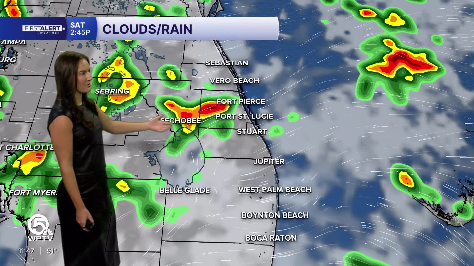


WEST PALM BEACH, Fla. — A hot, humid and increasingly stormy pattern continues across the Palm Beaches and Treasure Coast.
The east-to-southeast flow will help push Atlantic moisture inland, keeping the atmosphere favorable for downpours. The National Weather Service is forecasting highs around 90–93 degrees, with heat indexes reaching around 100–105 degrees in the hotter spots.
MORE WEATHER: Radar | Alerts | 7-Day Forecast | Hourly Forecast
The biggest concern on Friday and this weekend is not an all-day washout, but locally heavy rain, frequent lightning, and gusty winds near stronger thunderstorms. Storms can be hit-or-miss, meaning one location could get a soaking while another nearby stays mostly dry.
THE TUTT — WHAT IS IT?
A TUTT stands for Tropical Upper-Tropospheric Trough. In simple terms, it is an area of relatively cool air and lower pressure high in the atmosphere. Think of it as a broad dip in the upper-level winds. For South Florida, a TUTT can essentially act like an extra ingredient for thunderstorms. It doesn't mean a tropical storm is forming, and it isn't a surface low-pressure system. Plus, my son loves them since it usually means more rain and less heat.
**Portions of this story were assisted by artificial intelligence tools and reviewed by a WPTV journalists to ensure accuracy, clarity, and adherence to editorial standards.


