
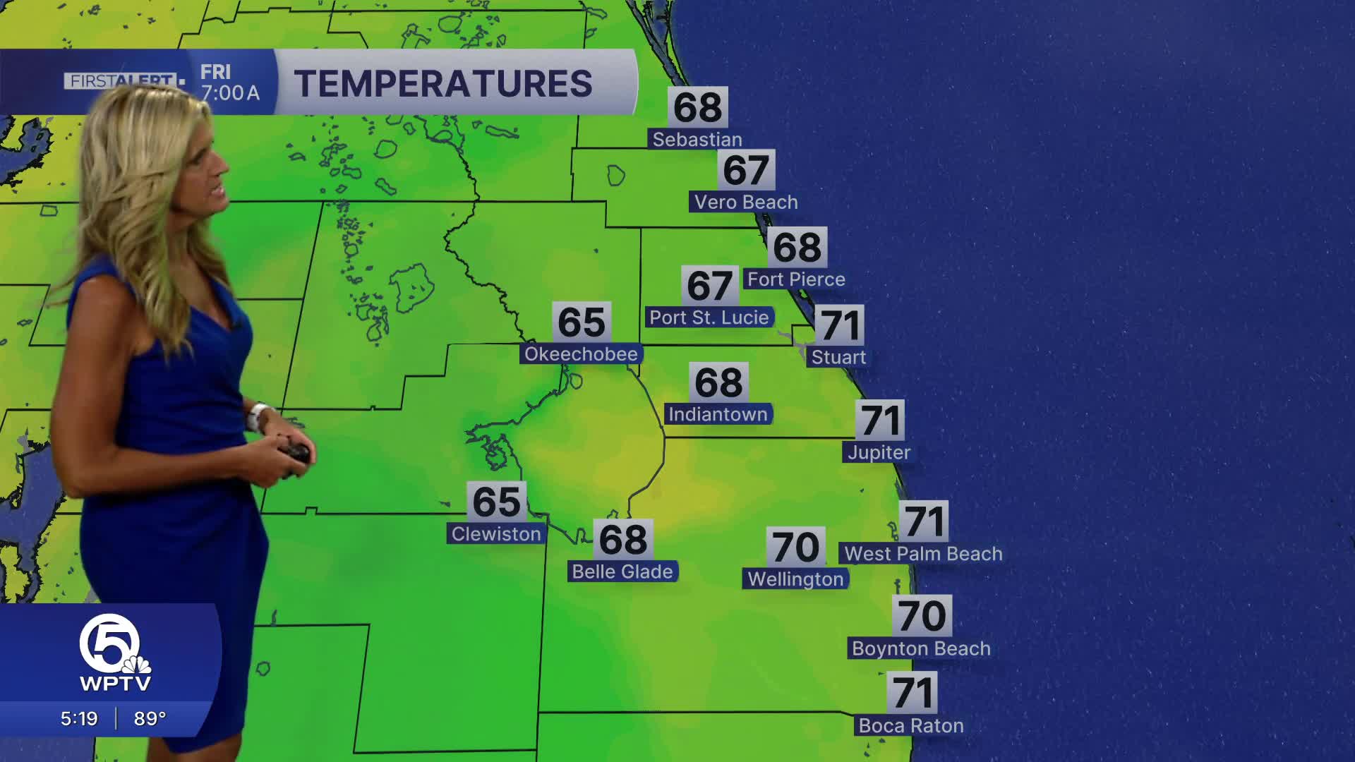


WEST PALM BEACH, Fla. — We'll end the workweek on an unseasonably hot trend with daytime highs ranging from the upper 80s to the low 90s.
Our average high temp for the first of May is 84 degrees.
A lingering NE swell in the Atlantic will continue a high risk of rip currents at our local beaches through Friday.

A major shift is in store for the weekend with winds picking up out of the south and southwest Friday into Saturday. Those winds will push temperatures into the lower nineties along the East Coast. Inland areas could see highs reach the lower-mid 90s.
The heat index will make it feel even hotter outside, hitting the triple digits in some areas.
MORE WEATHER: Radar | Alerts | 7-Day Forecast | Hourly Forecast
The weather pattern changes on Sunday as a cold front moves into the area. It will bring a high chance of showers and thunderstorms on Sunday.
Elevated rain chances are expected to stick around through early Monday as the cold front slows down over our region. Behind that front will bring a relief from the heat, cooling back down to the lower 80s.

Portions of this story were assisted by artificial intelligence tools and reviewed by a WPTV journalist to ensure accuracy, clarity, and adherence to editorial standards.


