



WEST PALM BEACH, Fla. — If you're heading to the beach this weekend, be very careful as conditions along Florida's east coast remain dangerous.
Strong rip currents are expected to continue through Sunday along with a small craft advisory for rough seas between 4 - 6 feet.
MORE WEATHER: Radar | Alerts | 7-Day Forecast | Hourly Forecast
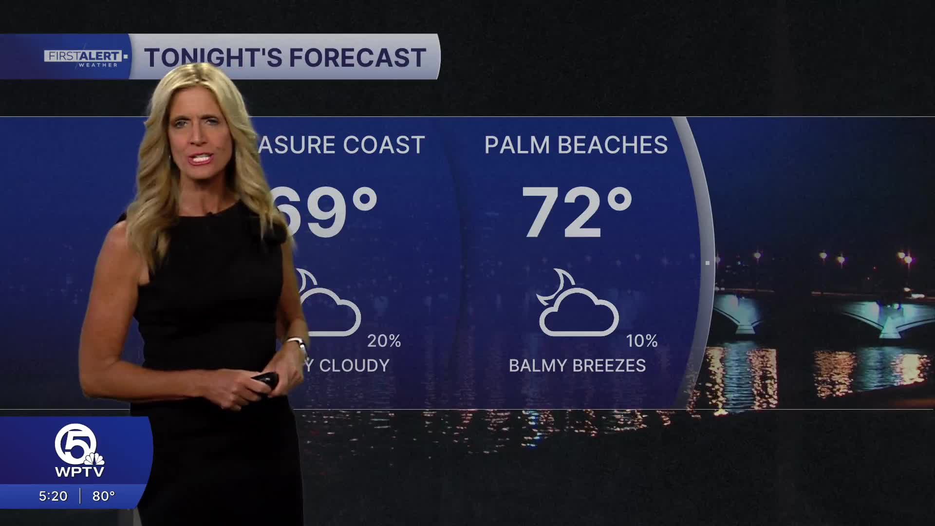
A persistent easterly breeze will keep temps slightly cooler at the beach in the low 80s with temps inland rising into the mid 80s.
Despite the gusty winds, the overall weather pattern through Saturday stays fairly calm and dry. High pressure over the region is helping keep rain chances low, although a brief, isolated shower can’t be ruled out.
Easter Sunday sunrise time is 7:06 a.m. in West Palm Beach.
If you're headed out to a sunrise service - there could be a few coastal showers in the morning, and then that threat shifts inland as thunderstorms develop and push around the lake. Temps will start in the low/mid 70s and warm to the mid 80s. Looking ahead, changes are on the way.
By early to mid next week, a stalled front and increasing moisture will likely bring a more active weather pattern to South Florida and the Treasure Coast. Rain chances are expected to rise, with the potential for more widespread showers as the week goes on.
As clouds and rain increase, temperatures may dip slightly into the upper 70s for a couple of days—offering a brief break from the heat before conditions settle again.
**Portions of this story were assisted by artificial intelligence tools and reviewed by a WPTV journalists to ensure accuracy, clarity, and adherence to editorial standards.


