
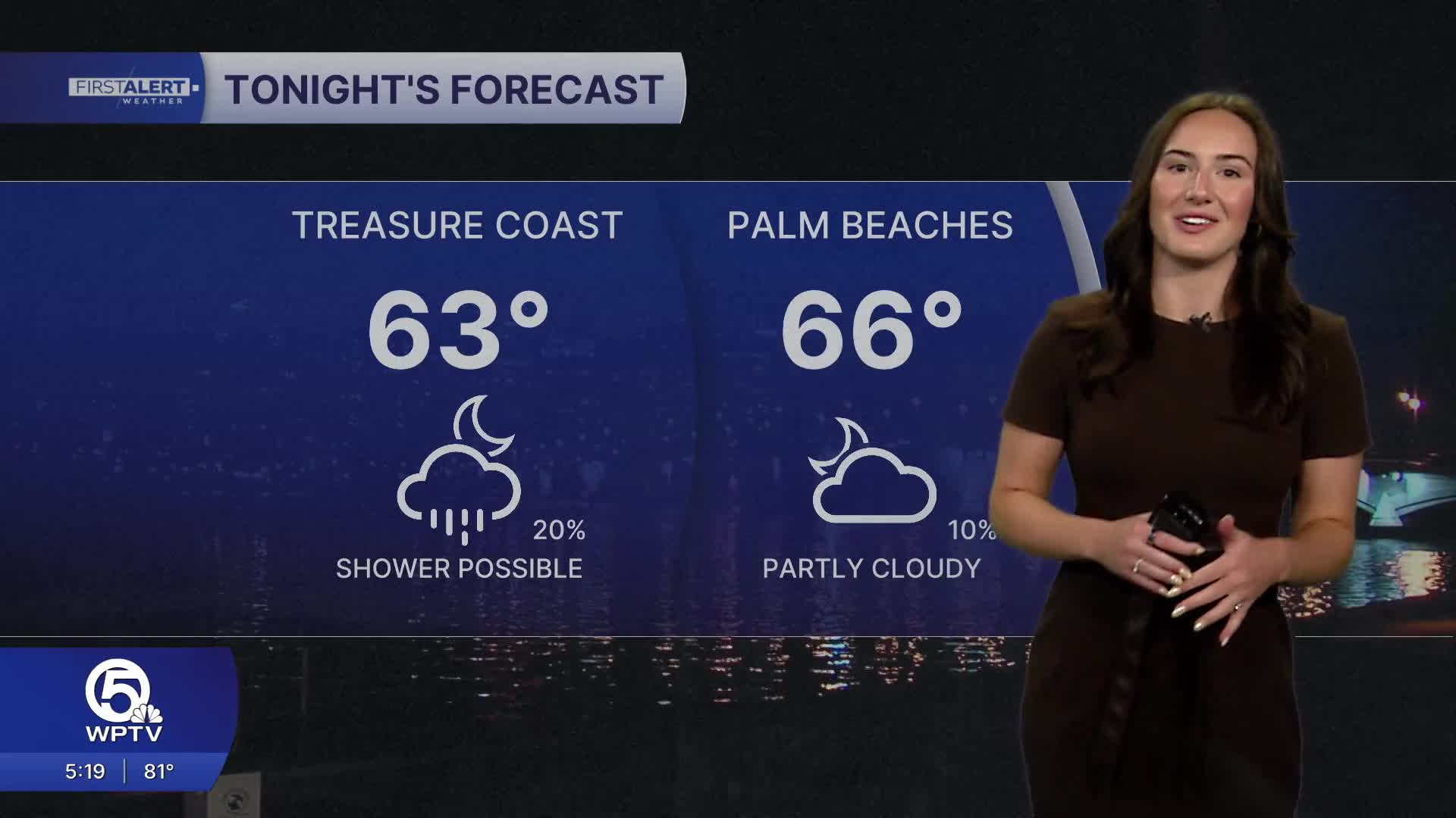


WEST PALM BEACH, Fla. — A weakening frontal boundary is lingering over the region, bringing only a limited chance for isolated showers or thunderstorms Wednesday night.
Drier air begins to move in on Thursday as high pressure builds back in over the area. That means more sunshine, warm temperatures, and slightly lower humidity.
MORE WEATHER: Radar | Alerts | 7-Day Forecast | Hourly Forecast
A quick, light shower can't be ruled out as the sea breeze develops during the afternoon. Highs will reach the lower 80s.
With the nice weather, be careful out on and in the water. Boating conditions will be choppy on the Atlantic waters on Thursday and the risk of rip currents remains high along our coast.
The warming and drying trend continues into Friday as high pressure strengthens, keeping conditions mostly quiet across South Florida. High temperatures will be in the lower to middle 80s.
Looking ahead to the weekend, the pattern becomes more active again. There is still some uncertainty in the exact timing, but rain chances will increase, especially late Saturday into Sunday.

In addition to higher rain chances, a strong pressure gradient may develop behind the front, leading to gusty easterly winds on Sunday. This could make for breezy conditions area-wide and choppier conditions along the coast.
Temperatures will be slightly cooler behind the front with highs in the 70s.


