
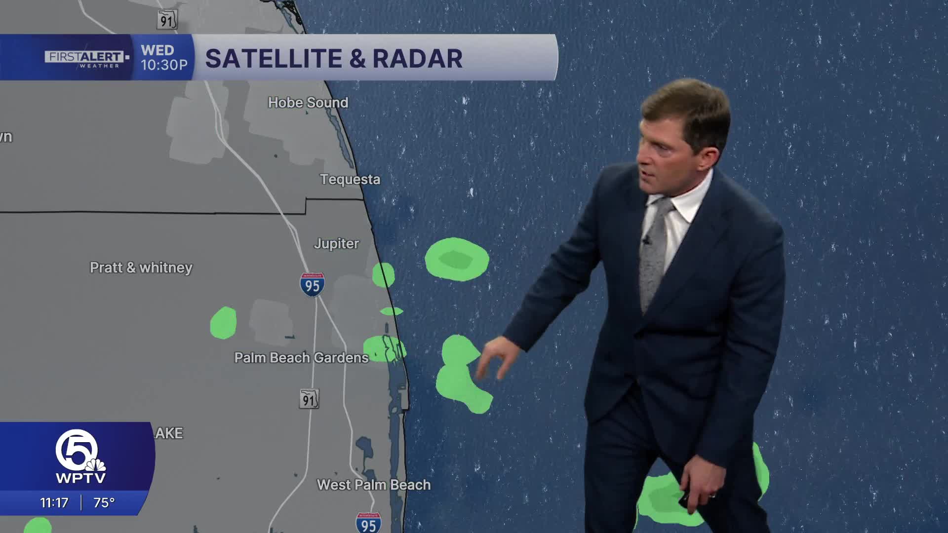


WEST PALM BEACH, Fla. — A breezy east to northeast wind pattern will stick around through the rest of the week, bringing warm temperatures, rough surf, and occasional fast-moving coastal showers.
Quick-moving showers will be possible each day, especially along the east coast and over the Atlantic waters. While most areas stay partly sunny, brief downpours could move onshore at times with isolated thunderstorms.
MORE WEATHER: Radar | Alerts | 7-Day Forecast | Hourly Forecast
Temperatures will remain above average for early March. Highs stay in the lower-mid 80s through the next week.
Be careful on the water, conditions are rough and choppy with seas reaching 3-5 feet. There is also a lot of sargassum seaweed blowing onshore.
Beachgoers are urged to stay out of the surf. Rough surf and building seas will also create hazardous conditions for small craft across the Atlantic waters.


