

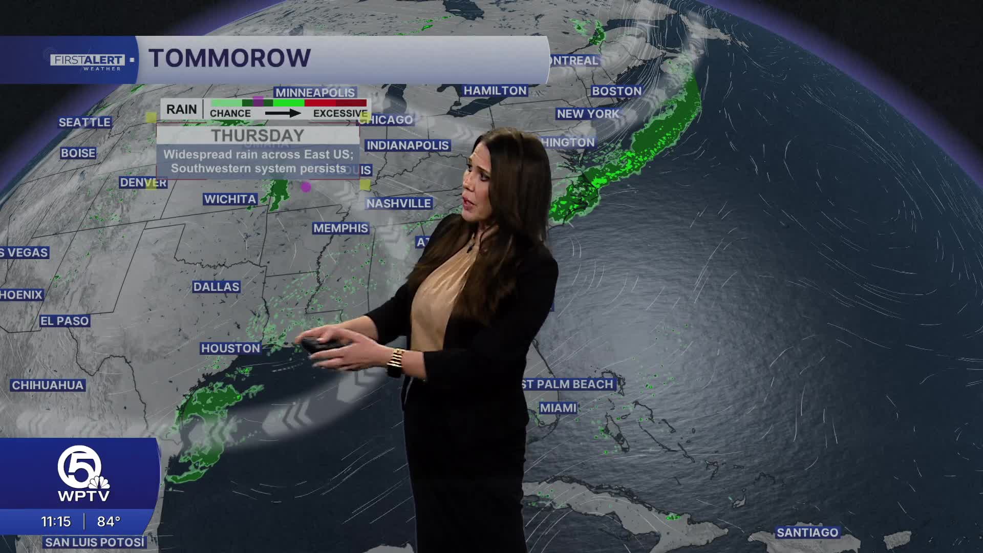


WEST PALM BEACH, Fla. — Thursday will remain one of the quieter days of the week.
Easterly winds will continue to push the best chance for afternoon showers and thunderstorms toward the interior and Southwest Florida. Along the Treasure Coast, rain chances remain relatively low, while Palm Beach County could possibly see a few spot showers during the day.

High temperatures will reach the lower to middle 90s, with heat index values generally climbing into the 100 to 105 degree range across southeast Florida.
No Heat Advisory is currently in effect, but the combination of heat and humidity can still become dangerous during prolonged outdoor activity.
MORE WEATHER: Radar | Alerts | 7-Day Forecast | Hourly Forecast

By the weekend, our brief stretch of unusually dry July weather comes to an end.
Increasing moisture combined with the daily sea breezes will bring us back toward a more typical South Florida summertime pattern of hot mornings followed by scattered afternoon thunderstorms.


