
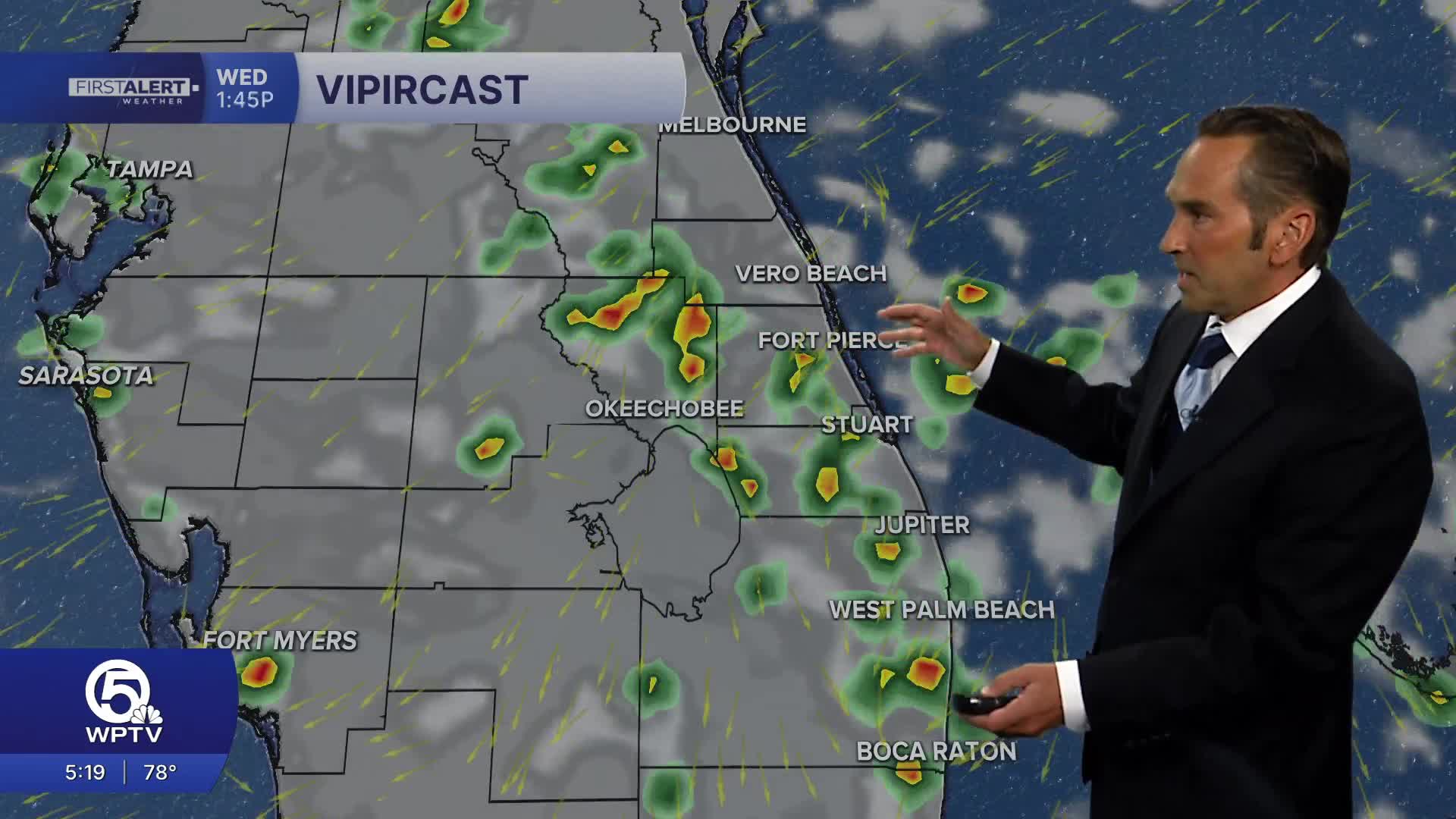


WEST PALM BEACH, Fla. — A typical summer pattern continues across the region with warm, humid conditions and increasing shower and thunderstorm coverage. While there will be intervals of sunshine this morning, clouds will build more quickly than the past couple of days, allowing scattered showers to develop by late morning before thunderstorms become more numerous during the afternoon.
Rain chances are higher today, with many neighborhoods seeing at least one passing shower or thunderstorm. Activity will first develop near the coast before shifting inland through the afternoon, but a few storms may drift back toward the beaches late in the day. Locally heavy rainfall, frequent lightning, and wind gusts over 40 mph will be possible in the stronger storms.

High temperatures will reach the upper 80s along the beaches and around 90 to 92 degrees inland. Despite a little more cloud cover, it will still feel like the mid to upper 90s before the rain arrives.
Boaters should watch for rapidly developing thunderstorms capable of producing gusty winds and dangerous lightning. Beachgoers should also be aware of an elevated rip current risk along the Atlantic beaches.
Showers and thunderstorms will gradually diminish after sunset, although a few lingering showers remain possible into the evening. Overnight lows will settle into the upper 70s.

Right now, conditions for the Fourth of July look promising— it should be dry at 9 p.m.
MORE WEATHER: Radar | Alerts | 7-Day Forecast | Hourly Forecast
**Portions of this story were assisted by artificial intelligence tools and reviewed by a WPTV journalist to ensure accuracy, clarity, and adherence to editorial standards.


