
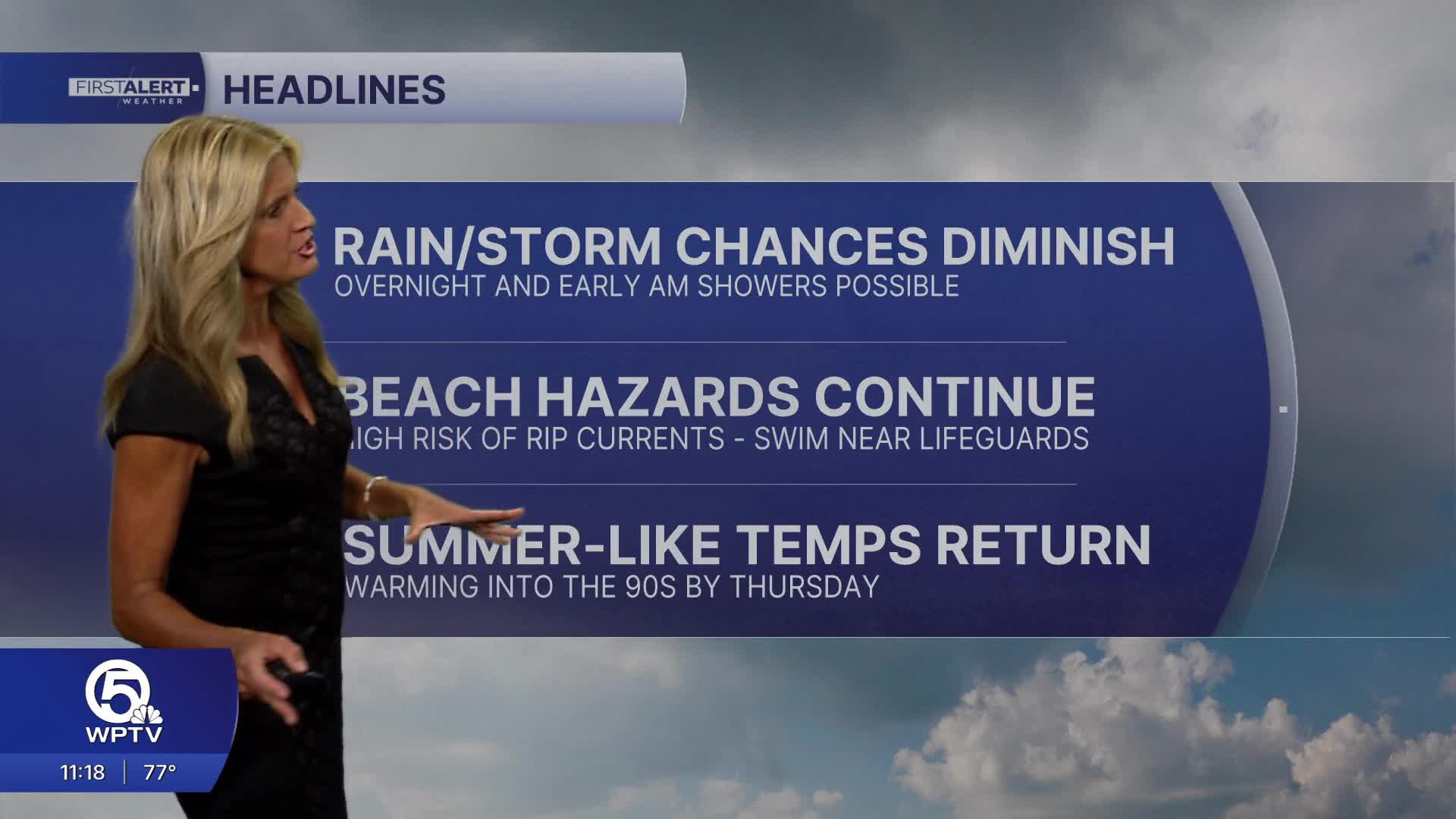


WEST PALM BEACH, Fla. — We'll keep showers in the forecast through early Tuesday morning. A few showers are possible near Lake Okeechobee during the afternoon.
A very strong mid-level ridge moves into the region by Wednesday - resulting in drier conditions along with unseasonably warm temps.
MORE WEATHER: Radar | Alerts | 7-Day Forecast | Hourly Forecast
High temps on Tuesday peak in the mid 80s with breezy NE winds.
A lingering NE swell will keep hazardous conditions on the water Tuesday with seas as high as 5 feet and a high risk of rip currents at our local beaches.
Daytime highs will warm into the upper 80s on Wednesday - with just about everybody in the low 90s Thursday and Friday.
This marks a return to summer-like conditions across South Florida, with near-record warmth possible in some inland areas.


