

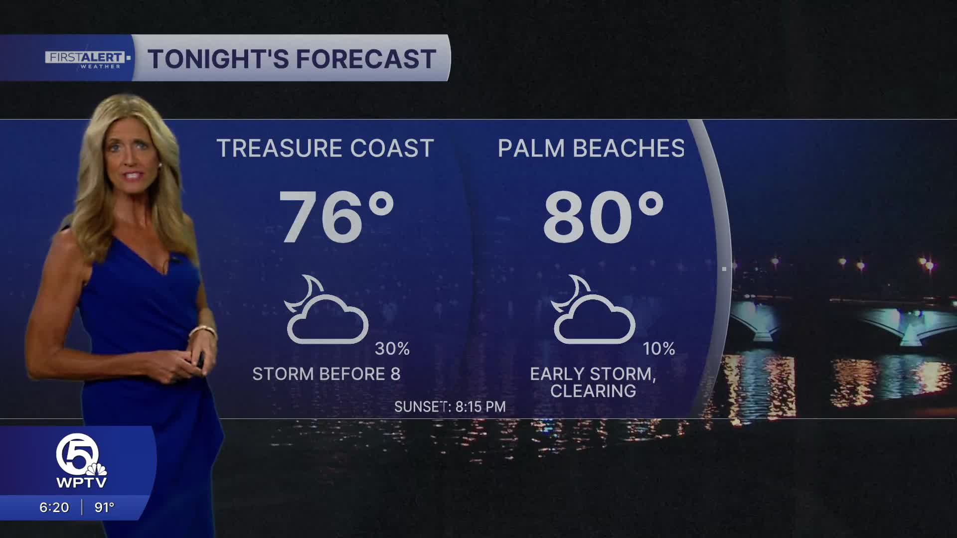


WEST PALM BEACH, Fla. — Wake-up temps Monday range from the mid 70s inland to near 80 degrees at the immediate coast.
SE winds will continue across our area into Monday. Winds could gust as high as 25 mph as we have a tight pressure gradient in place between the high to our east and Tropical Depression Two in the eastern Gulf.
The big story for us this week will be the major heat risk. High temps will continue in the low to mid-90s, with the humidity making it feel closer to 100 to 110 degrees during the hottest part of the day. Heat advisories may be needed - so stay tuned. It's important to drink plenty of fluids and take frequent breaks if you're spending an extended amount of time outdoors.
Drier air pushing into the region will help suppress storm coverage to 20% Any storms that do develop on Monday will begin along the Atlantic sea breeze push inland, with the best chance for thunderstorms focused around Lake Okeechobee during the late afternoon and early evening.
Along the immediate Palm Beach and Treasure Coast, storm coverage should generally be lower, although an isolated shower or storm cannot be ruled out. An outflow boundary could also trigger additional development closer to the coast later in the day.
Storms should gradually weaken or move away during the evening hours.
MORE WEATHER: Radar | Alerts | 7-Day Forecast | Hourly Forecast
With a deep southerly flow - boating conditions will deteriorate Monday with sustained SE winds 10-15 mph with higher gusts. Seas are expected to range from 2-3 feet.
As we head into the end of the workweek - we have bumped rain chances up to 40% to account for some moisture moving in from the Caribbean.
Tropical depression two will continue to move away from us and will have no direct impact on South Florida. It will, however, continue to influence our weather by maintaining a southerly flow and helping provide enough moisture for scattered thunderstorms.


