



WEST PALM BEACH, Fla. — Wake-up temps Sunday morning will range from the mid 70s inland to near 80 degrees along the immediate coast.
The heat returns by Sunday afternoon with high temps climbing into the low to mid-90s. Heat index values will reach roughly 100 to 106 degrees, so make sure to stay hydrated and take breaks if you are spending extended time outdoors.
Our heat risk will continue into the workweek with possible heat advisories needed.
MORE WEATHER: Radar | Alerts | 7-Day Forecast | Hourly Forecast
Looking ahead, scattered storms remain possible Monday before rain chances trend lower into the middle of next week. Temperatures stay hot, with highs generally in the low to mid-90s and feels-like temperatures remaining above 100 degrees.
Good boating prevails with seas 2 feet or less and a light chop on our inland waterways.
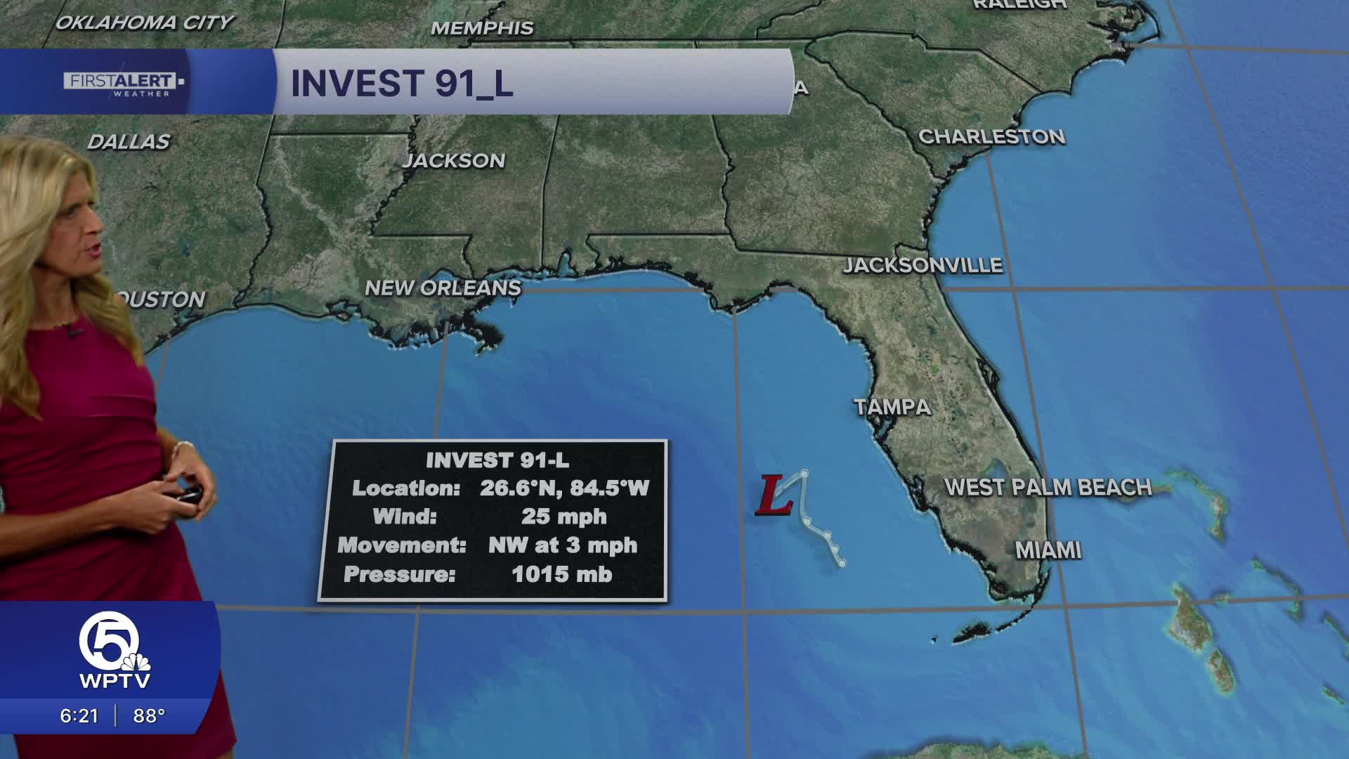
We're watching an area of low pressure in the Gulf of America that has been designated Invest 91_L. The National hurricane center is giving this low a 50% chance of development in the next 7 days. Initial spaghetti models keep the low moving NW and away from South Florida. Folks along the Florida Panhandle and as far west as Louisiana need to keep a close eye on it's evolution.


