

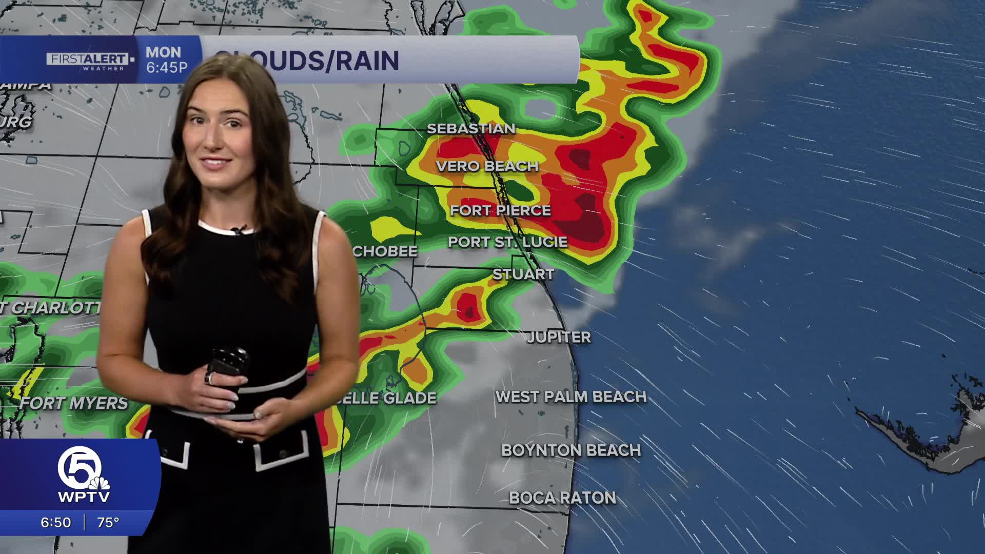


WEST PALM BEACH, Fla. — Saharan dust continues to blanket over South Florida through most of the week ahead. Despite the dry air, there is still enough moisture near the ground to form scattered thunderstorms in inland areas each afternoon, especially around Lake Okeechobee. Even though there is drier air higher up, there is plenty of moisture near the ground to fuel some stronger storms, mainly bringing strong wind gusts. Frequent lightning and heavy downpours will develop north of the area before trickling down south towards the Treasure Coast and Lake O in the early evening. The highest chance of rain will be between 5-8PM.
High temperatures will be much hotter than usual (90°), reaching the mid 90s.
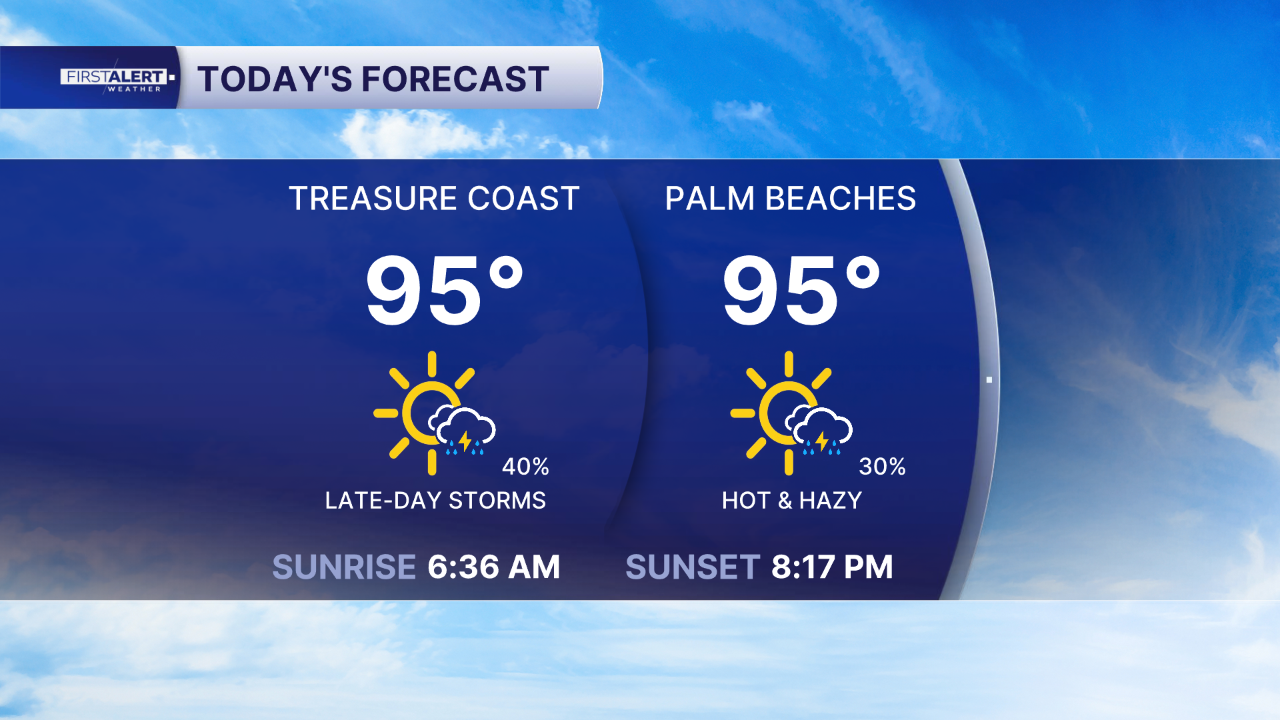
The heat index, measuring how hot it feels, could reach between 105 and 110°. However, because of the drier Saharan dust, the peak feels-like temperatures should be around 105 to 107 degrees, so no heat advisory is expected today.
In addition to the hot daytime temperatures, lows tonight will also be higher than normal. Most of the Palm Beaches will struggle to drop below 80 degrees. It's important to reduce outdoor strenuous activities and watch for signs of heat exhaustion or heat stroke to stay safe.
MORE WEATHER: Radar | Alerts | 7-Day Forecast | Hourly Forecast
Portions of this story were assisted by artificial intelligence tools and reviewed by a WPTV journalists to ensure accuracy, clarity, and adherence to editorial standards.


