
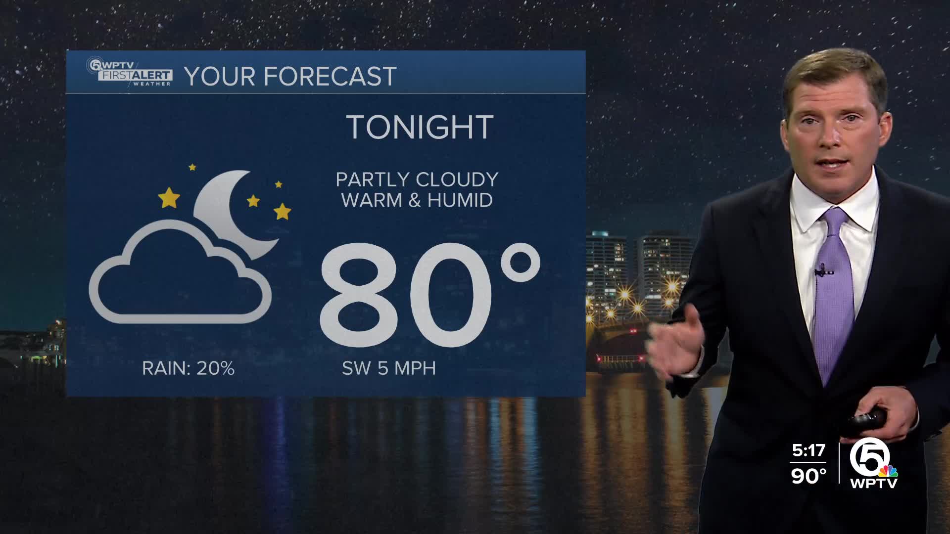


WEST PALM BEACH, Fla. — A few inland storms this evening. Skies will clear by the late evening, and lows will be warm and muggy in the mid to upper 70s.
Thursday will be another hot and humid day with highs in the lower 90s and heat indices in the triple digits. Some afternoon relief in the form of storms is expected further inland.
MORE WEATHER: Radar | Alerts | 7-Day Forecast | Hourly Forecast
Friday will be the driest and hottest day of the week. Highs will be in the mid-90s with heat indices nearing 110. An isolated storm can't be ruled out, but it won't be too busy on the radar.
Over the weekend, inland storm chances return to the area. Highs remain in the lower 90s.
Early next week, we will have dangerous ocean conditions from the indirect impacts of Erin, such as high rip current risks and increased wave heights.


