
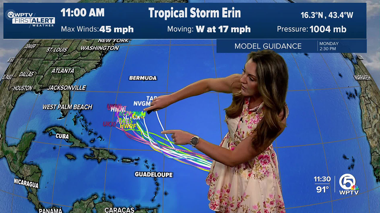


WEST PALM BEACH, Fla. — Not much has changed with Tropical Storm Erin's development or track.
According to the 11 a.m. Wednesday advisory from the National Hurricane Center, Erin has maximum sustained winds of 45 mph and is moving west at 17 mph.
WATCH BELOW: 11 a.m. update on Tropical Storm Erin
The track continues to remain consistently off our coast, and we will deal with indirect impacts such as increased wave heights late Monday into Wednesday and higher rip current risks.
Erin will track north of the Leeward Islands and start to curve north towards the island of Bermuda. It appears she will miss the Bahamas and remain well east of their coast, too.

TRACKING THE TROPICS: Hurricane Center | Hurricane Guide

Erin will see further strengthening when it hits the warmer waters near the mid-80s in temperature, and that is where we will see hurricane characteristics. Erin is still predicted to be the first hurricane of the 2025 season and likely the first major hurricane, too.
There is a series of tropical waves following Erin's path. We are watching one now that is moving towards the Cape Verde Islands.
We will keep you updated with the latest.


