


WEST PALM BEACH, Fla. — While it has been another beautiful day, isolated showers and t-storms are possible overnight, especially in the Treasure Coast as a weakening front starts to move south.
MORE WEATHER: Radar | Alerts | 7-Day Forecast | Hourly Forecast
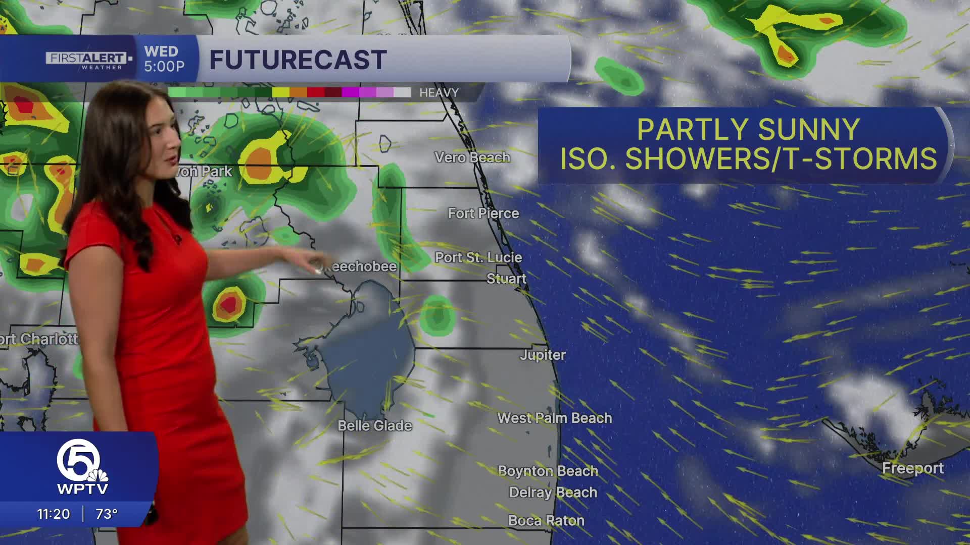
Most of the day looks partly sunny and warm. However, a few showers and t-storms will linger into Wednesday as the front stalls over South Florida. Rain chances remain spotty, with lighter totals expected overall. Temperatures will head into the lower-mid 80s during the afternoon.
While it appears to be good beach and boating weather, the water remains a major concern. A Small Craft Advisory goes into effect Wednesday for the Atlantic waters. Meanwhile on our beaches, a high risk of rip currents continues along the coast.
By Thursday and Friday, drier air briefly moves in, allowing for more sunshine and lower rain chances.

Looking ahead to the weekend, another cold front is expected to move through on Sunday, bringing another round of showers, gusty winds, and a noticeable cool-down by early next week, with highs dropping back into the 70s.


