


WEST PALM BEACH, Fla. — It's been a pleasant Tuesday overall with a nice breeze and limited rain chances. Dry air is acting like a lid on the atmosphere, keeping any rain showers that develop— shallow and brief.
MORE WEATHER: Radar | Alerts | 7-Day Forecast | Hourly Forecast
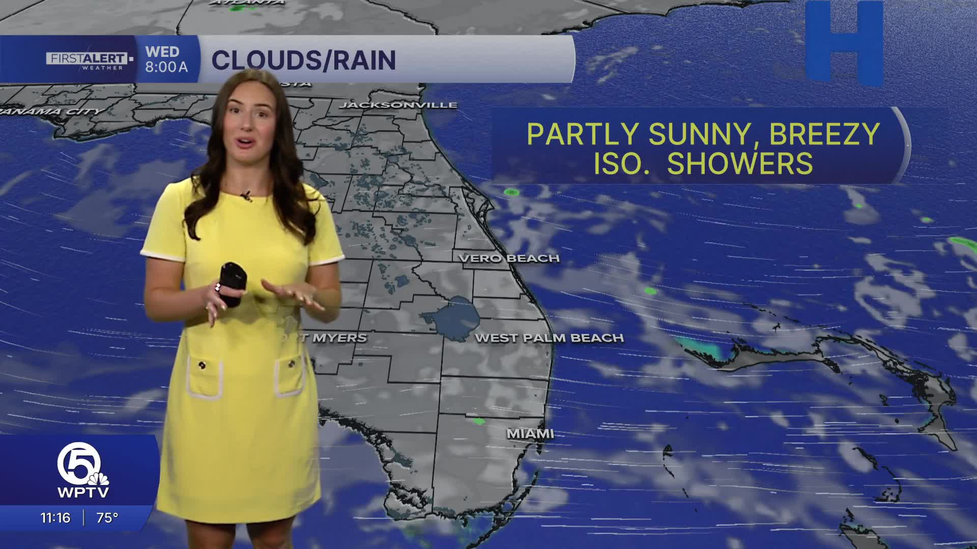
On Wednesday, things trend even drier as the high-pressure system shifts slightly east and continues to feed in less humid air from the northeast. The breezy conditions stick around, and a few isolated showers are still possible.
Temperatures will show a split across the region: coastal areas stay a bit cooler in the upper 70s to low 80s thanks to the ocean breeze, while inland and western spots warm into the mid-80s. Nights will feel warmer and more humid along the East Coast, staying mainly in the 70s overnight, while inland areas cool off more comfortably into the 60s.
With the onshore breeze, dangerous rip currents and choppy boating continues through the next few days.
A push of greater moisture arrives from the Atlantic on Thursday bringing in more cloud cover and the chance for spotty showers and thunderstorms. Friday looks a bit drier.
The next potential rainmaker looks to arrive early next week. Until then, expect gradually warming temperatures, persistent breezes, and a slow transition from dry, stable conditions to a more unsettled setup.
**Portions of this story were assisted by artificial intelligence tools and reviewed by a WPTV journalist to ensure accuracy, clarity, and adherence to editorial standards.


