
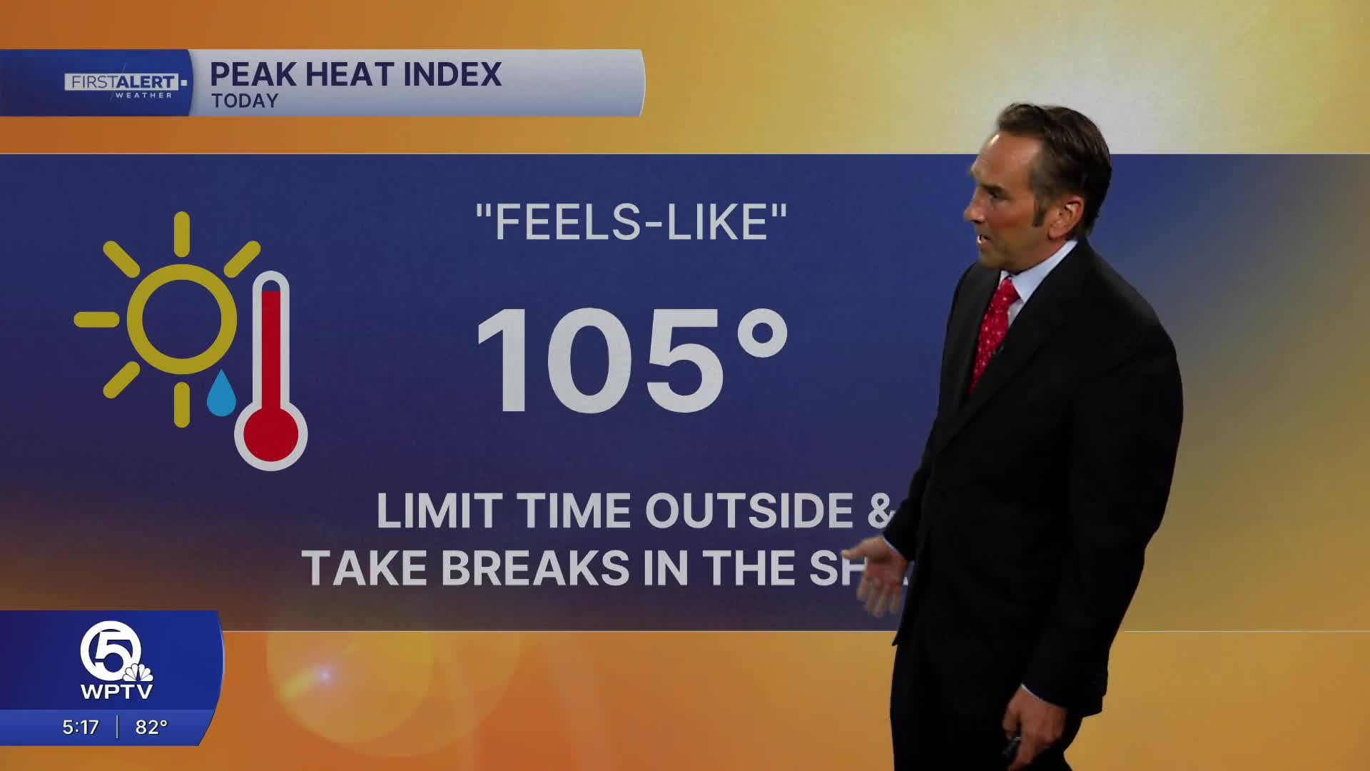


WEST PALM BEACH, Fla. — Hot and humid summer weather continues across the region today with a mix of sun and clouds through the morning. Temperatures will climb into the upper 80s along the beaches and the lower 90s inland, with heat index values reaching the upper 90s to near 105 degrees during the afternoon.
A few showers may develop near the coast around midday, but the better chance for thunderstorms will be inland during the mid to late afternoon as the sea breeze pushes westward. Storm coverage will be highest across western Palm Beach County, inland Martin County, St. Lucie County, Indian River County, and around Lake Okeechobee. Some storms could produce frequent lightning, heavy downpours, gusty winds, and localized street flooding.

For the evening, thunderstorms will gradually diminish after sunset with partly cloudy skies overnight. Temperatures will remain warm and muggy, falling only into the middle 70s across the Treasure Coast and upper 70s in the Palm Beaches.
Looking ahead, the typical late-June pattern remains in place through the rest of the week: hot mornings, building humidity, and scattered afternoon and evening thunderstorms each day. The highest storm chances will generally be inland before activity drifts toward the coast during the evening hours. High temperatures will stay near 90 degrees with heat index values frequently topping 100 degrees.

MORE WEATHER: Radar | Alerts | 7-Day Forecast | Hourly Forecast
**Portions of this story were assisted by artificial intelligence tools and reviewed by a WPTV journalist to ensure accuracy, clarity, and adherence to editorial standards.


