


WEST PALM BEACH, Fla. — Overnight lows will dip into the mid 70s for inland communities and along the Treasure Coast. The Palm Beaches will only fall near 80.
MORE WEATHER: Radar | Alerts | 7-Day Forecast | Hourly Forecast
The weekend will continue to be hot, with temperatures remaining in the low-mid 90s with heat indices near 105 and isolated spots up to 110. This will be near heat advisory criteria again. Make sure you are staying hydrated and if you plan on spending time outside, try to take breaks in the shade or air conditioning.

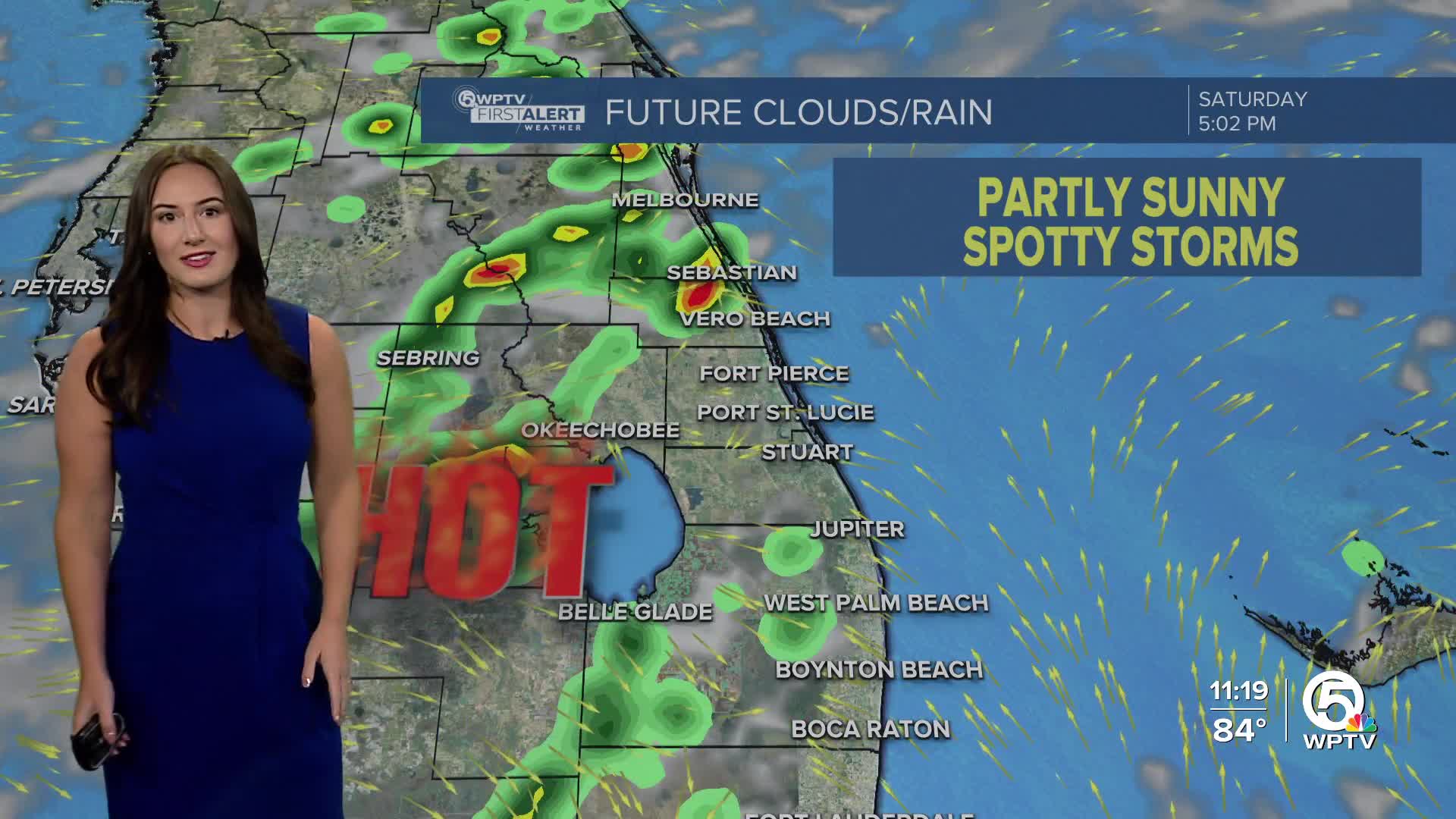
While we will get lots of sunshine early in the day, a few showers and storms can be expected in the afternoon as the sea breeze migrates inland.
Rain chances kick back up next week as a front stalls out over North Florida.
The National Hurricane Center does not expect any tropical development within the next seven days, however, the overall weather patterns looks to become more favorable for tropical development around the middle of August.


