

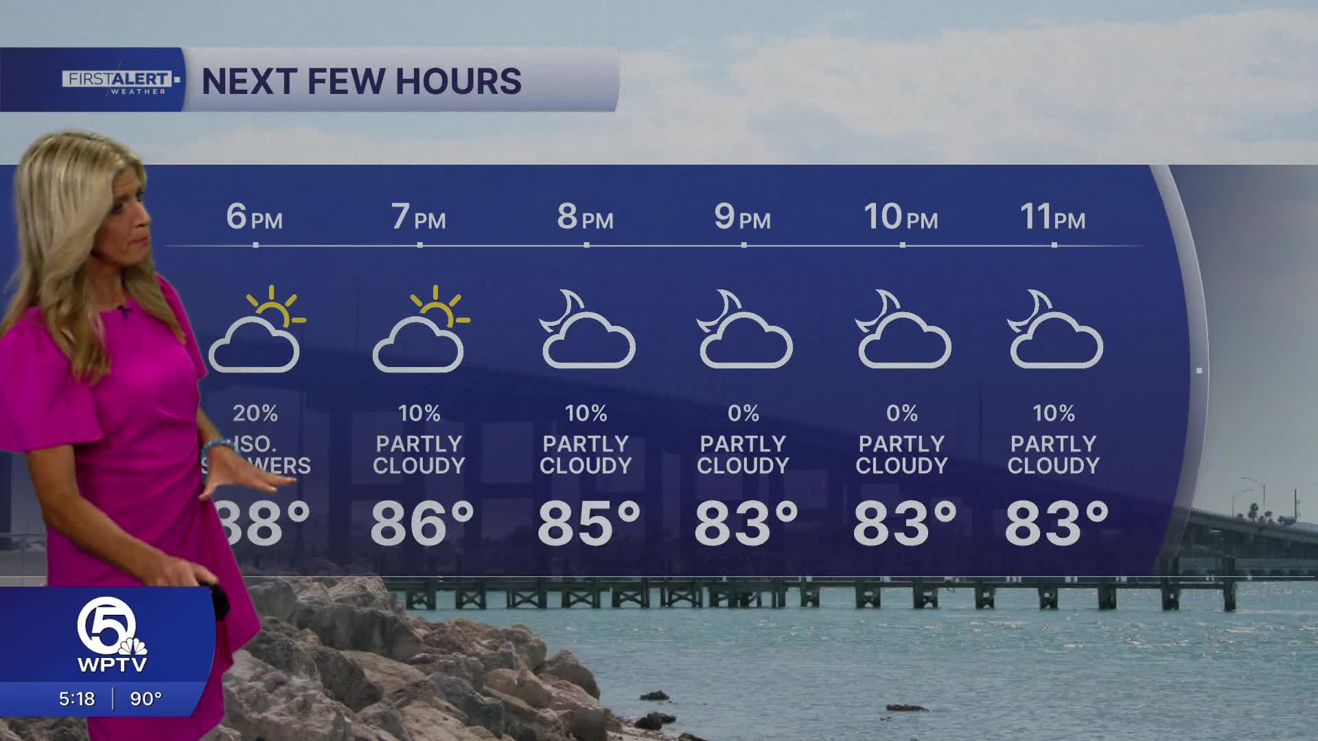


WEST PALM BEACH, Fla. — Expect another hot and humid July day with a mix of sunshine and building afternoon clouds.
High temperatures will reach the lower 90s, but the heat index will climb to 107 degrees.
MORE WEATHER: Radar | Alerts | 7-Day Forecast | Hourly Forecast
A southeast breeze will help along the coast, while scattered showers and thunderstorms develop during the afternoon. The highest storm coverage will be inland and western communities, though a few storms could drift toward the coast during the late afternoon and early evening. Any storm may produce heavy downpours, frequent lightning, and gusty winds before fading after sunset.
Saturday will be a classic midsummer pattern. Expect a warm start, followed by a mix of sun and clouds. Highs will again reach the lower 90s with tropical humidity making it feel well over 100 degrees. Afternoon and evening thunderstorms will be scattered rather than widespread, with inland areas favored for the greatest coverage. Coastal communities may stay mostly dry until later in the day thanks to the Atlantic sea breeze.
And Sunday calls for little overall change. Temperatures climb into the lower to middle 90s under a partly to mostly cloudy sky. Heat and humidity remain the biggest story through midday before another round of isolated to scattered afternoon thunderstorms develops.
Rain will be brief for most locations, but any storm can produce torrential rain and dangerous lightning. The overall forecast for the weekend will be dry, but look up for those big dark skies for a few storms. Be safe but enjoy.
**Portions of this story were assisted by artificial intelligence tools and reviewed by a WPTV journalist to ensure accuracy, clarity, and adherence to editorial standards


