


WEST PALM BEACH, Fla. — A gorgeous stretch of weather continues for South Florida with mainly clear and pleasant conditions holding steady through the week.
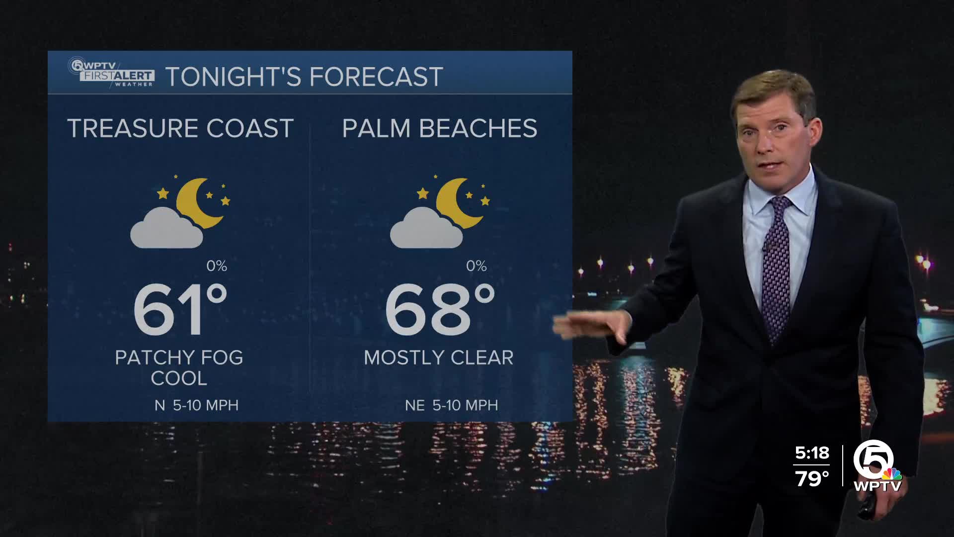
Tonight will be pleasant as temperatures begin to fall after dusk. Overnight temperatures will dip into the upper 50s for the Treasure Coast and inland spots. Lows in the Palm Beaches will be in the mid-upper 70s Thursday morning.
If you're up early, you might encounter a little patchy fog, mainly across inland areas, but it won’t linger long. Once the sun rises, the fog clears and comfortable temperatures prevail.
High pressure sliding into the Atlantic will keep a steady northeasterly breeze in place and skies mostly sunny. Expect coastal highs in the low 80s, while inland areas warm into the mid-80s.
Looking ahead from Thursday night into the weekend, not much changes. High pressure stays firmly in control, meaning more bright, dry, and calm days. A weak cold front will try to drift into northern Florida late in the weekend, giving Sunday a brief shift to a more southerly flow, but it won’t amount to much. The front fizzles out by Monday, and our usual east-northeast breeze returns. Aside from a few pockets of late-night or early-morning fog, the forecast is pretty quiet for now.
Highs each afternoon will hover in the low to mid-80s along the coast. Overnight temperatures stay mild, in the mid to upper 60s — great for giving your air conditioning a break.
**Portions of this story were assisted by artificial intelligence tools and reviewed by a WPTV journalist to ensure accuracy, clarity, and adherence to editorial standards.


