

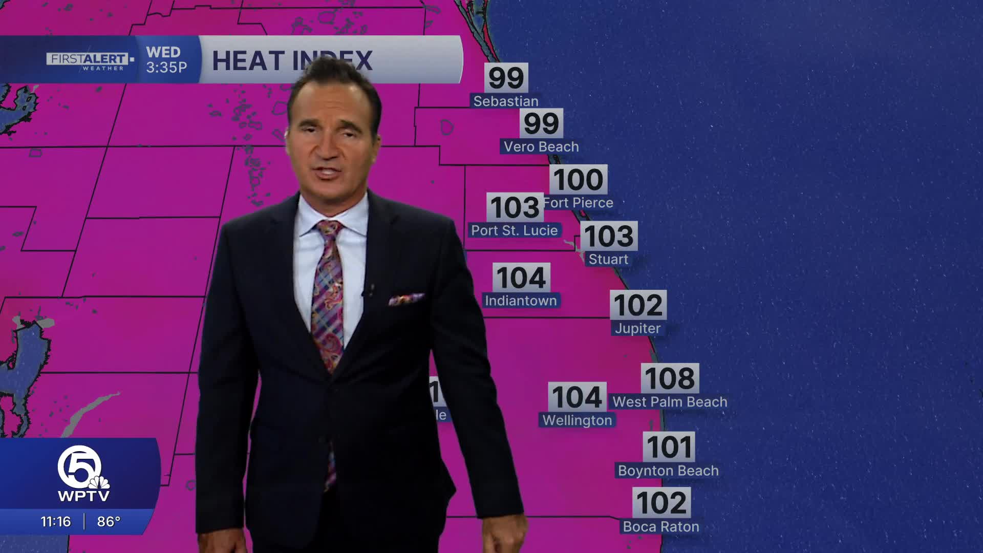


WEST PALM BEACH, Fla. — A hot and steamy summer pattern continues across the Palm Beaches and Treasure Coast today, with the biggest weather story once again being the heat. Afternoon high temperatures will climb into the low to mid 90s, but when the humidity is factored in, it will feel more like 103 to 108 degrees, making outdoor activities especially taxing during the peak heating of the day. Stay well-hydrated, take frequent breaks if you're working outside, and never leave children or pets in parked vehicles.
Skies will feature a mix of sunshine and developing clouds through the afternoon. Thanks to a light west to southwest wind and lingering Saharan dust, much of the day should remain rain-free. However, the delayed sea breeze means thunderstorms are expected to develop later than usual, with the best chance arriving from late afternoon into the evening, generally after 5 PM and continuing through sunset.
The strongest storms will be capable of torrential downpours, frequent lightning, wind gusts over 50 mph, and localized street flooding. Coverage won't be widespread, so many neighborhoods will stay dry, but any storm that develops could become intense for a short time before fading later this evening.

MORE WEATHER: Radar | Alerts | 7-Day Forecast | Hourly Forecast
**Portions of this story were assisted by artificial intelligence tools and reviewed by a WPTV journalist to ensure accuracy, clarity, and adherence to editorial standards.


