

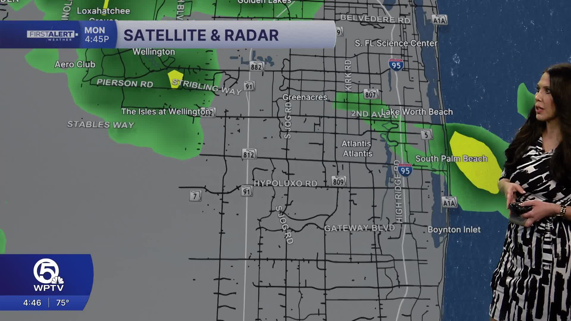


WEST PALM BEACH, Fla. — For the Palm Beaches and the Treasure Coast, expect another typical midsummer day with a mix of sun, heat and scattered thunderstorms.
Heat index values will reach the upper 90s to near 105 degrees this afternoon, so it will feel especially uncomfortable during the hottest part of the day.
MORE WEATHER: Radar | Alerts | 7-Day Forecast | Hourly Forecast
Scattered showers and thunderstorms will develop from early to mid-afternoon, becoming most numerous inland before gradually drifting toward the coast later in the day. Some storms may produce heavy downpours, frequent lightning, gusty winds of 40 to 50 mph, and localized street flooding.
Rain coverage will be around 50 to 70 percent this afternoon. This evening, storms will gradually diminish after sunset, leaving partly cloudy, warm, and muggy conditions overnight with lows in the mid to upper 70s.
The extended forecast calls for hotter days with fewer storms as more Saharan Dust heads our way. The heat index later this week will top 110 degrees. Stay cool and seek shade when outdoors.
**Portions of this story were assisted by artificial intelligence tools and reviewed by a WPTV journalist to ensure accuracy, clarity, and adherence to editorial standards.


