


WEST PALM BEACH, Fla. — The strong storms are moving out of the area for the night. A couple of coastal showers are possible this evening, but the heaviest downpours will mainly hold off until the early morning hours. Lows will fall into the mid-upper 70s.
MORE WEATHER: Radar | Alerts | 7-Day Forecast | Hourly Forecast
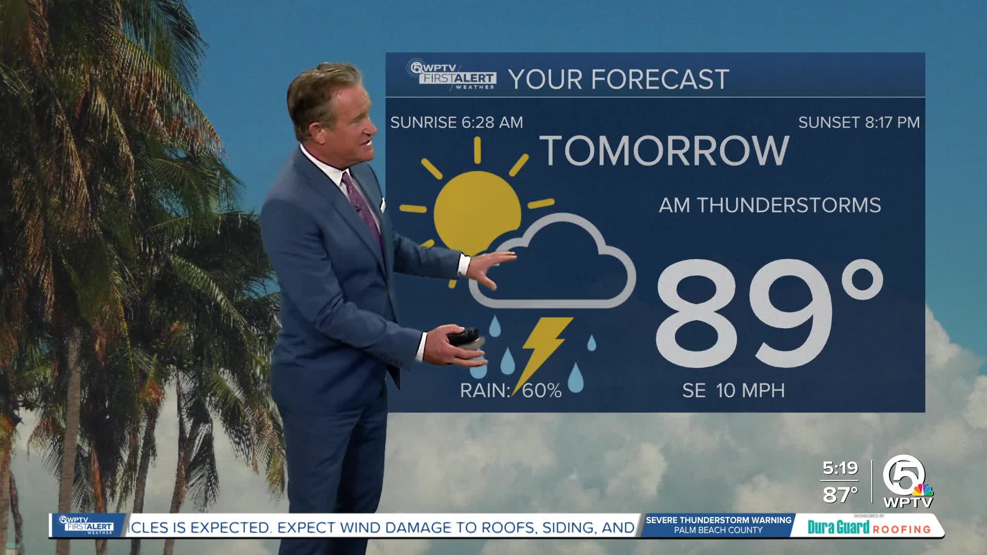
A disturbance moves over South Florida on Thursday, combining with increasing moisture levels, scattered showers and storms are expected. We will be under a Level 1 marginal risk of severe weather. The biggest threats are heavy downpours, gusty winds, small hail, and frequent lightning. Localized flooding in low-lying or poor drainage areas is possible within slow-moving storms.

You can expect coastal downpours and thunderstorms through sunrise before clearing out. Pop-up thunderstorms are likely near the Lake in the afternoon. Some of these storms will drift towards the coast late in the afternoon. Highs will near 90.
Another round of strong-severe storms are also possible on Friday. The rain will move in slightly later though with the first downpours arriving late in the morning before moving west. Even with the rain, it will be a hot and muggy day with feels-like temperatures over 100 degrees.
Another plume of Saharan dust will move in on Friday and stay through this weekend. Even with the dust in the air, rain chances are still expected to be fairly high through Saturday.


