


WEST PALM BEACH, Fla. — A front continues to linger over Florida, triggering more storms for the rest of the week.
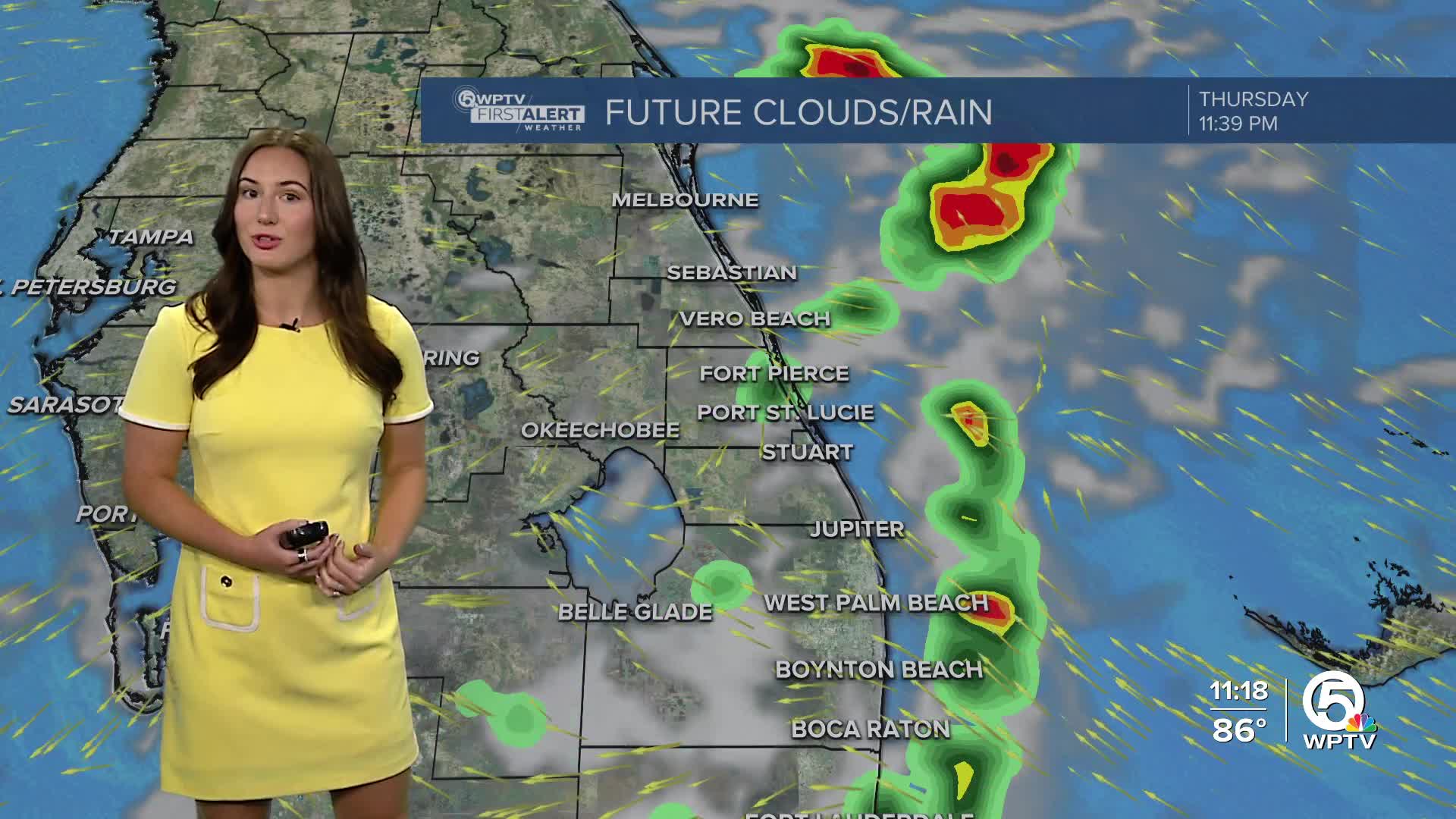
Clouds will stick around overnight along with isolated coastal showers/t-storms. Lows will fall into the mid 70s.
MORE WEATHER: Radar | Alerts | 7-Day Forecast | Hourly Forecast
A mix of sun and clouds is expected on Thursday. A stray shower or two is possible in the morning, but most of the rain will hold off until the afternoon when spotty showers and storms develop. Highs will head into the lower 90s.
On Friday, we will get additional afternoon storms with highs in the low 90s.
For the holiday weekend, rain chances are forecast to significantly rise as a couple of low-pressure systems move across South Florida from the Gulf. This wetter weather will last until mid-week next week.
TROPICS:
Tropical Storm Fernand is weakening, staying over the open waters of the northern Atlantic. The rest of the tropics remains calm and no tropical development is forecast for the next week.


