
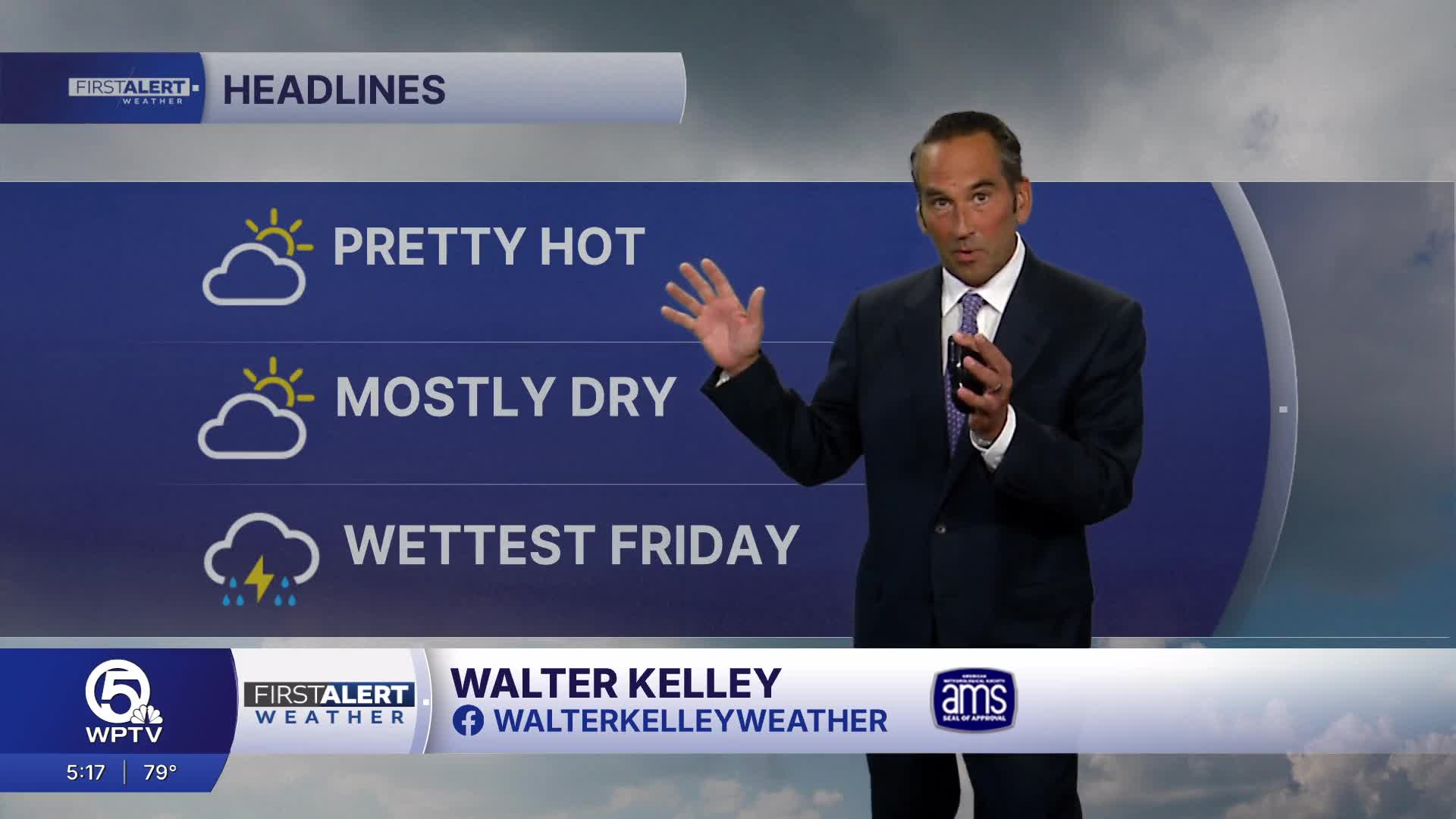


WEST PALM BEACH, Fla. — A typical early-summer South Florida pattern is expected across Palm Beach County and the Treasure Coast, with the highest thunderstorm threat focused inland and west of the coastal communities as the Atlantic sea breeze moves inland during the afternoon.
Along the coast, expect partly sunny, hot and humid conditions. Highs will reach the low 90s with east to southeast winds of 10–15 mph. Only a low chance of a brief shower.
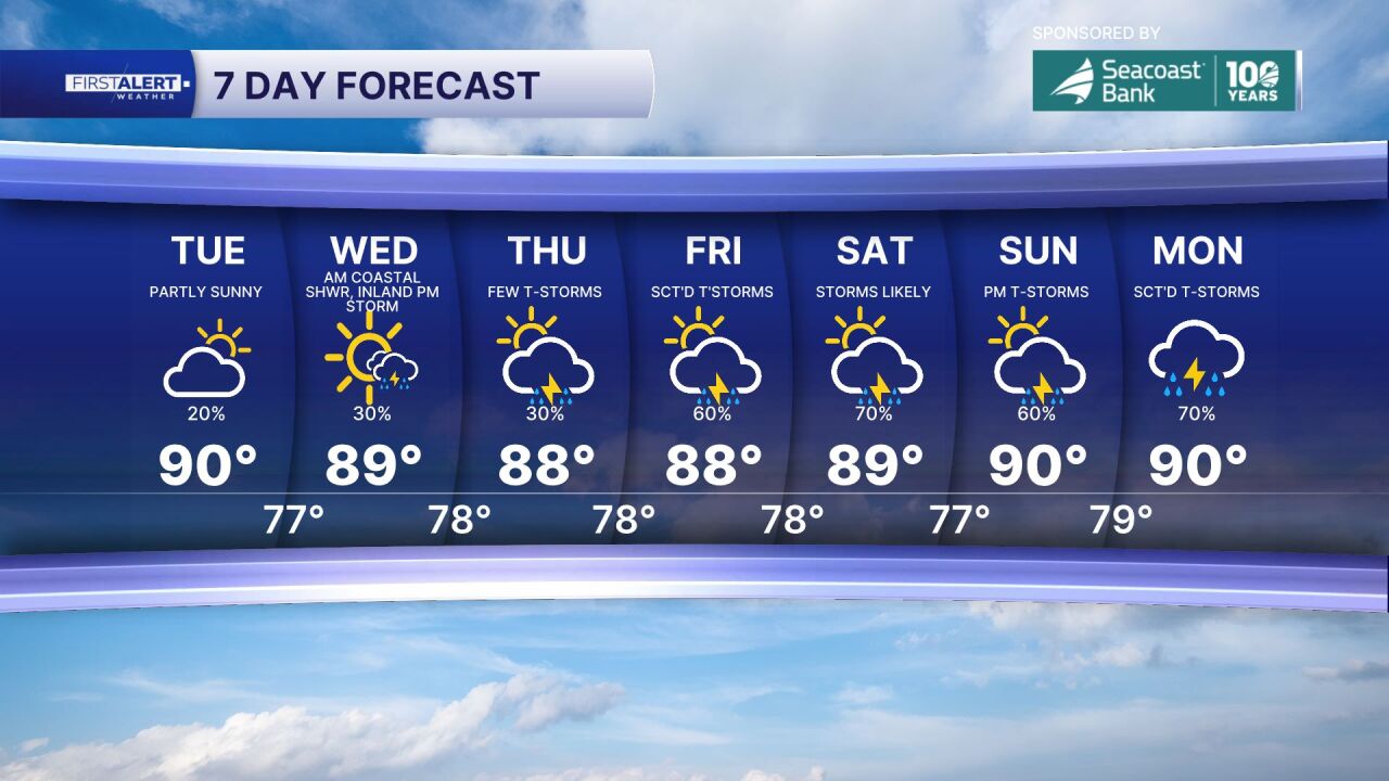
Further inland, there will be increasing clouds after 1 p.m. with scattered thunderstorms developing through mid to late afternoon. Storms may produce frequent lightning and brief torrential downpours with wind gusts of 40–50 mph and localized flooding of roads.
There is no tropical cyclone development expected within the next seven days.

MORE WEATHER: Radar | Alerts | 7-Day Forecast | Hourly Forecast
**Portions of this story were assisted by artificial intelligence tools and reviewed by a WPTV journalist to ensure accuracy, clarity, and adherence to editorial standards.


