

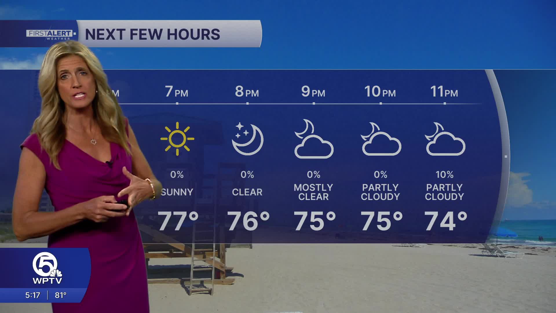


WEST PALM BEACH, Fla. — High pressure will continue warm temps and beach breezes across the region on Friday. Daytime highs on Friday climb into the low 80s with easterly winds from 5 - 10 mph.
MORE WEATHER: Radar | Alerts | 7-Day Forecast | Hourly Forecast
A few brief showers are possible - with the highest coverage staying inland.
As we head into the weekend, things start to change. A frontal boundary will move closer to the area, bringing a noticeable uptick in cloud cover and rain chances beginning late Saturday afternoon and continuing into Sunday.
While widespread severe storms aren’t expected, a few thunderstorms and periods of heavier downpours are possible. Some areas—especially along the east coast—could see repeated rounds of rain, which may lead to localized flooding.
Temperatures will also dip slightly by Sunday, with highs settling into the upper 70s and low 80s and it will be very windy. Wind will be another big story this weekend and into early next week. Gusty easterly to northeasterly winds are expected to ramp up on Sunday and stick around for a few days, making it feel breezier and a bit cooler.
Boaters should take note: marine conditions are likely to deteriorate, with building seas and rough waters creating hazardous conditions. Lingering showers may stick around into Monday before drier air gradually returns by midweek, bringing a more typical South Florida weather pattern back into place.
**Portions of this story were assisted by artificial intelligence tools and reviewed by a WPTV journalists to ensure accuracy, clarity, and adherence to editorial standards.


