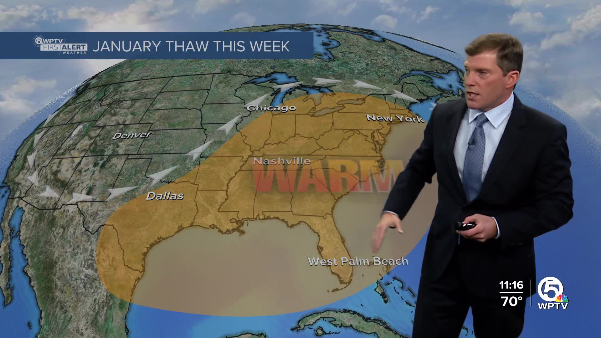
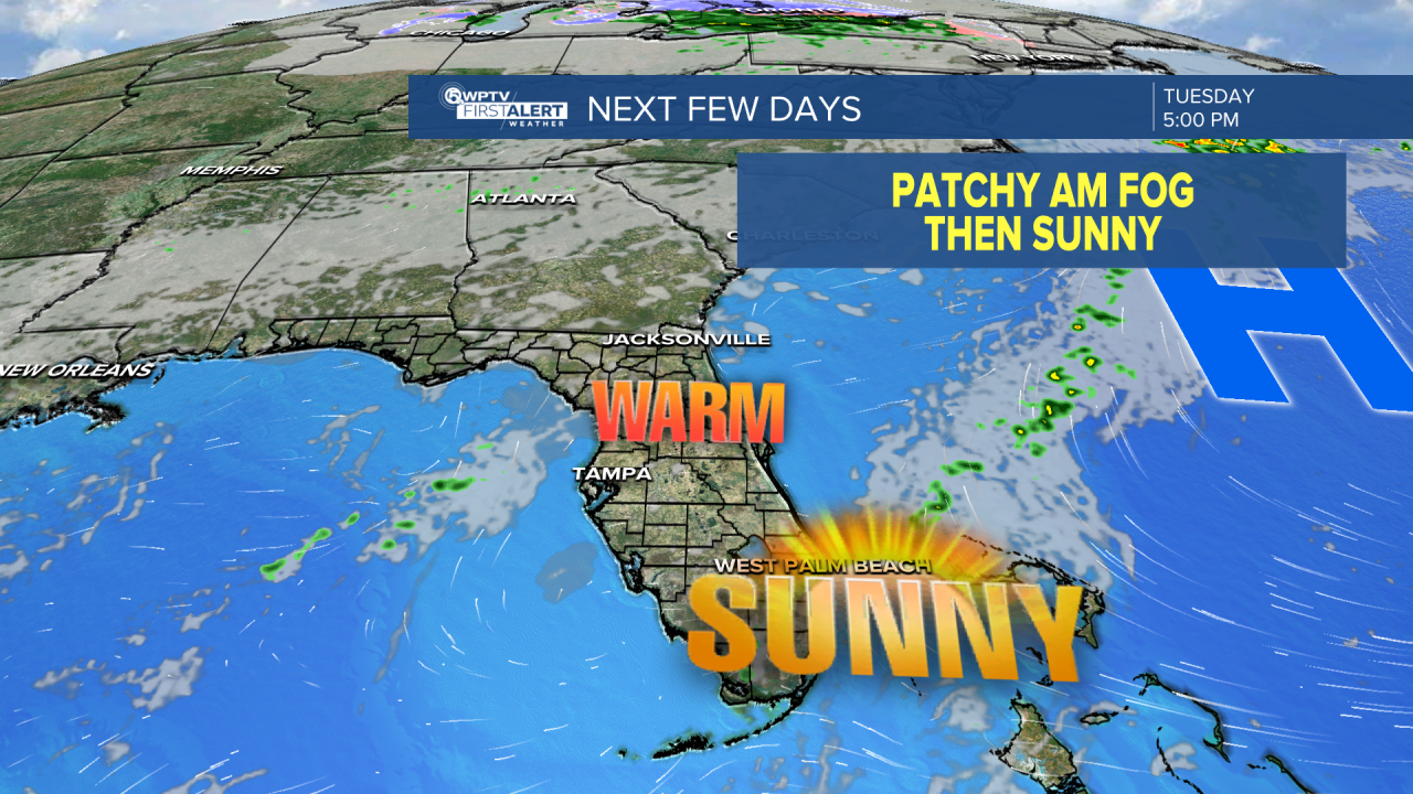
WEST PALM BEACH, Fla. — South Florida is settling into a calm and mostly sunny stretch of weather this week, thanks to a strong high-pressure system parked over the region.
Expect warm, dry conditions through midweek and beyond, with afternoon highs generally sitting in the low 80s, then slowly climbing into the mid-80s later in the week.
MORE WEATHER: Radar | Alerts | 7-Day Forecast | Hourly Forecast
Rain chances remain very low, making for a great run of outdoor-friendly weather.
Looking ahead to the rest of the week and into the weekend, the quiet pattern sticks around. High pressure will keep storm systems and cold fronts to the north, meaning continued dry weather and a gradual warming trend.
A stray, brief shower along the sea breeze isn’t totally out of the question, but chances are slim. Daytime highs will reach the low to mid 80s, while overnight lows dip into the upper 50s and 60s—cooler inland and milder along the coast.
The next cold front looks to come through early Monday, kicking up the wind and bringing down cooler air as highs drop into the mid-70s.
**Portions of this story were assisted by artificial intelligence tools and reviewed by a WPTV journalist to ensure accuracy, clarity, and adherence to editorial standards.


