


WEST PALM BEACH, Fla. — Hurricane Erin is moving northeastward and bringing major coastal impacts including: storm surge, high surf, life-threatening rip currents, and large seas up the eastern seaboard.
MORE WEATHER: Radar | Alerts | 7-Day Forecast | Hourly Forecast
Locally, rough surf is still on tap with dangerous rip currents through Saturday morning.
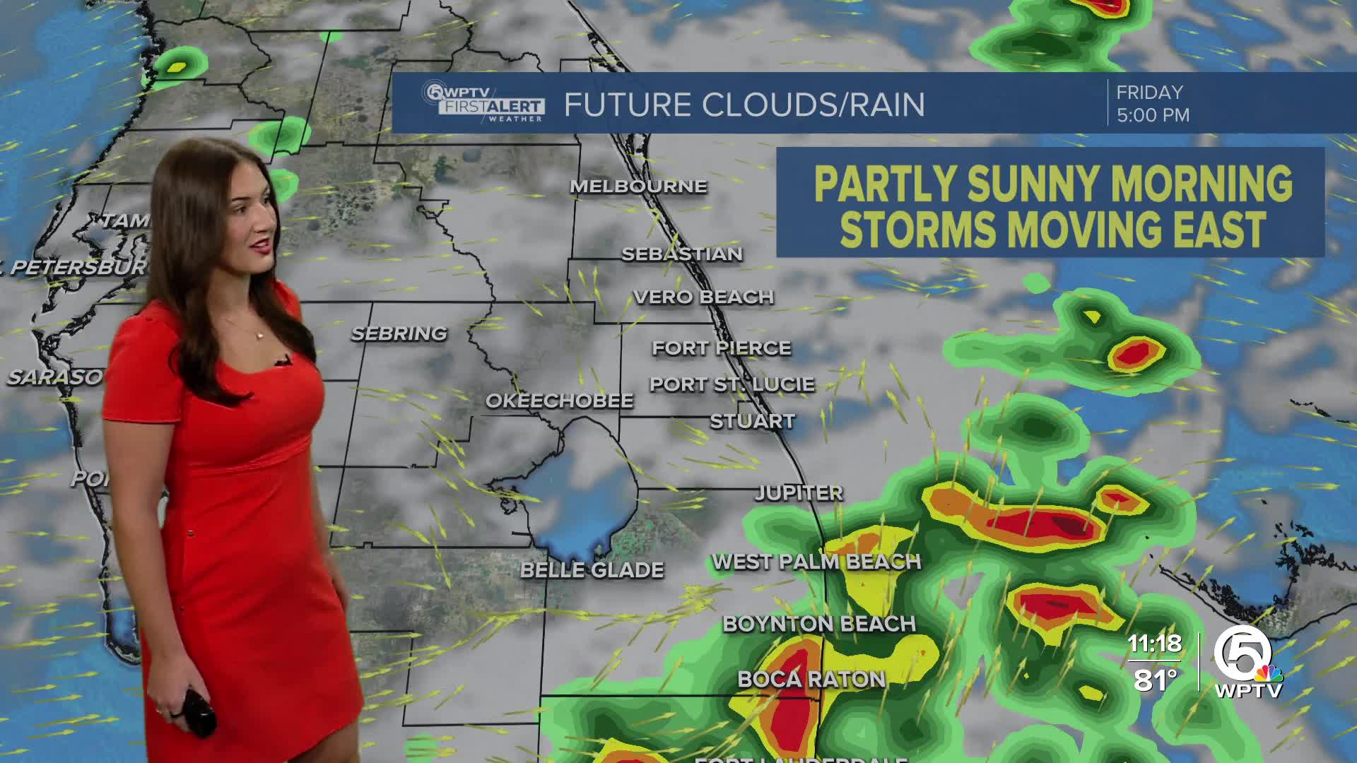
The westerly winds will continue to keep us hot through the early afternoon, followed by late day storms. The storms will track east through the afternoon, so make sure to keep your umbrella handy.
For the remainder of the week and into the weekend, you can expect high temperatures to continue to reach near 95 with a heat index expected to hit the triple digits every day.

A frontal boundary will lower near the Florida-Georgia line this weekend and keep plenty of moisture around through the weekend with scattered to numerous showers and thunderstorms each afternoon.


