



WEST PALM BEACH, Fla. — Balmy breezes will continue through early Sunday morning under partly cloudy skies.
Wake-up temps Sunday morning range from the mid to upper 70s for inland locations and the Treasure Coast. We'll see low 80s at the immediate coast across Palm Beach County.
MORE WEATHER: Radar | Alerts | 7-Day Forecast | Hourly Forecast
Even drier air moves in for Sunday as another plume of Saharan dust establishes itself across South Florida. This set-up will lower rain chances across much of the Palm Beaches and Treasure Coast while allowing temperatures to climb even higher.
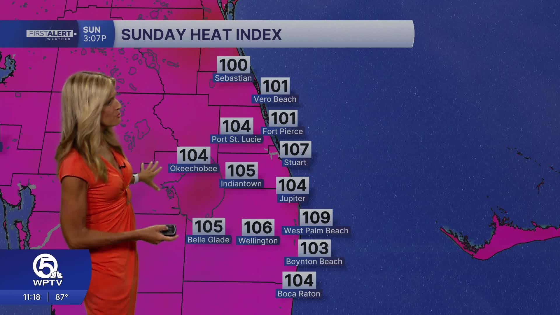
A Heat Advisory will likely be issued again on Sunday for Palm Beach County, the Treasure Coast, and Okeechobee as afternoon temperatures climb into the mid-90s. Combined with high humidity, it will feel like 105 to 110 degrees during the hottest part of the afternoon.
Expect fewer afternoon thunderstorms Sunday through much of next week, but don't expect much relief from the heat. High temperatures will remain in the mid-90s, with heat index values continuing to range between 105 and 110 degrees, making heat the dominant weather story well into next week.
If you'll be spending time outdoors, drink plenty of water, wear lightweight clothing, take frequent breaks in the shade or air conditioning, and never leave children or pets inside a parked vehicle.
Boating conditions look good on Sunday with seas less than 2 feet and a light chop on the Intracoastal.


