


WEST PALM BEACH, Fla. — As Hurricane Erin continues to moves northward, swells will continue to reach our coast through Thursday with seas peaking from 6-9 feet offshore.
MORE WEATHER: Radar | Alerts | 7-Day Forecast | Hourly Forecast
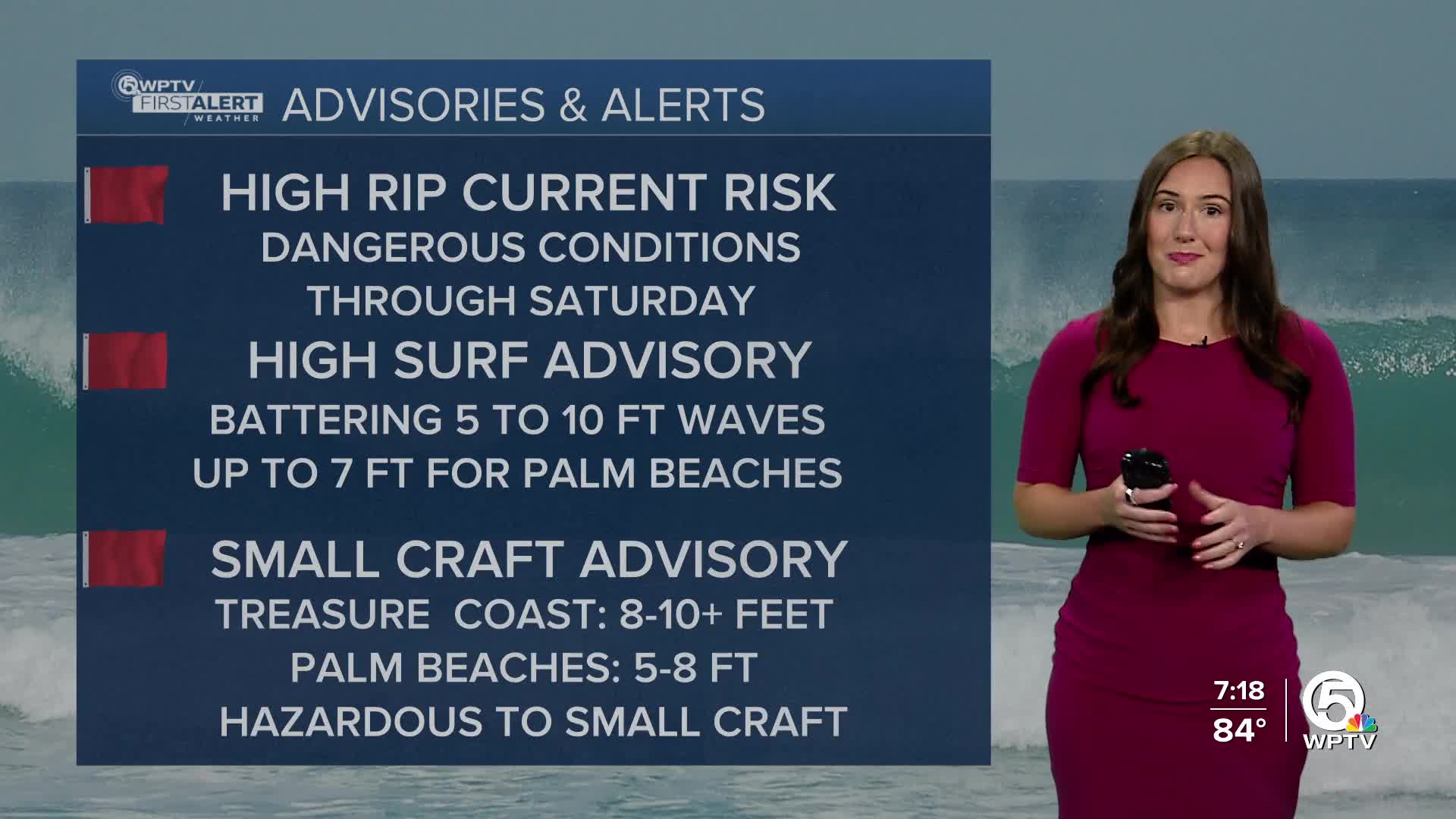
A High Surf Advisory and Small Craft Advisory is in effect for the Treasure Coast and Palm Beaches.

There is also a high rip current risk for dangerous rip currents that will continue for the next few days into the weekend— swimming at the beach is not recommended.
Thursday and through the weekend, rain chances will be increasing.
You can expect a partly sunny start to Thursday with temperatures getting toasty. Storms will move in from the west in the afternoon and will once again target coastal communities bringing heavy downpours and frequent lightning to the area.
High temperatures are expected to remain in the low to mid-90s for the rest of the week and the weekend. Feels-like temperatures will approach 105 and up to 110 in the Palm Beaches.
A frontal boundary will lower near the Florida-Georgia line this weekend. This will keep in the moisture into play for the weekend with scattered to numerous showers and thunderstorms each afternoon.


