


WEST PALM BEACH, Fla. — If you’re heading to the beach this week, you’ll want to think twice before getting in the water. A steady easterly breeze is creating rough surf and choppy seas, leading to a high risk of rip currents at all area beaches — and that danger is expected to stick around through the week.
Winds will generally run around 15 mph, with gusts up to 20 mph at times, especially during the afternoon as the sea breeze develops. Bottom line: entering the surf is not advised unless you are an experienced surfer.
MORE WEATHER: Radar | Alerts | 7-Day Forecast | Hourly Forecast
Aside from the rough ocean conditions, expect a mix of sun and passing showers. Isolated to scattered showers will develop over the Atlantic and drift onshore each afternoon, occasionally pushing inland.
Rain chances stay in the 20–30% range most days, and while a rumble of thunder can’t be completely ruled out, widespread lightning storms aren’t expected.

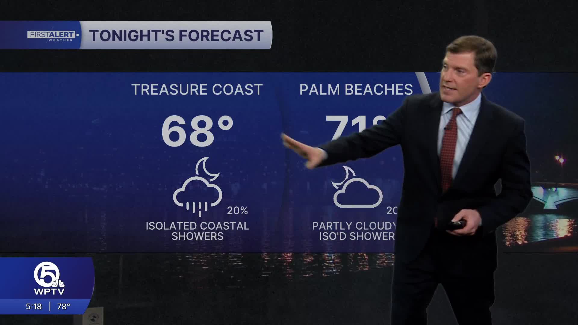
Most evenings will trend drier, though a few showers could linger near the coast overnight.
Temperatures will steadily climb as the week goes on. Highs reach the upper 70s to low 80s, warming into the mid-80s across the interior by late week. Coastal areas will stay a bit cooler thanks to the onshore breeze.
Overnight lows hold in the upper 60s-low 70s, slightly above normal for this time of year. No record-breaking heat is expected — just a gradual warm-up paired with breezy afternoons and unsettled coastal showers.
**Portions of this story were assisted by artificial intelligence tools and reviewed by a WPTV journalist to ensure accuracy, clarity, and adherence to editorial standards.


