


WEST PALM BEACH, Fla. — Winds will strengthen Sunday setting the stage for critical fire weather conditions lasting into Monday.
A Red Flag Warning will go into effect Monday morning. Any fires that spark could spread quickly under dry, windy conditions.
MORE WEATHER: Radar | Alerts | 7-Day Forecast | Hourly Forecast
Scattered showers are moving north to south through the early evening.
Behind the strong cold front is much cooler and drier air as the gusty winds persist.

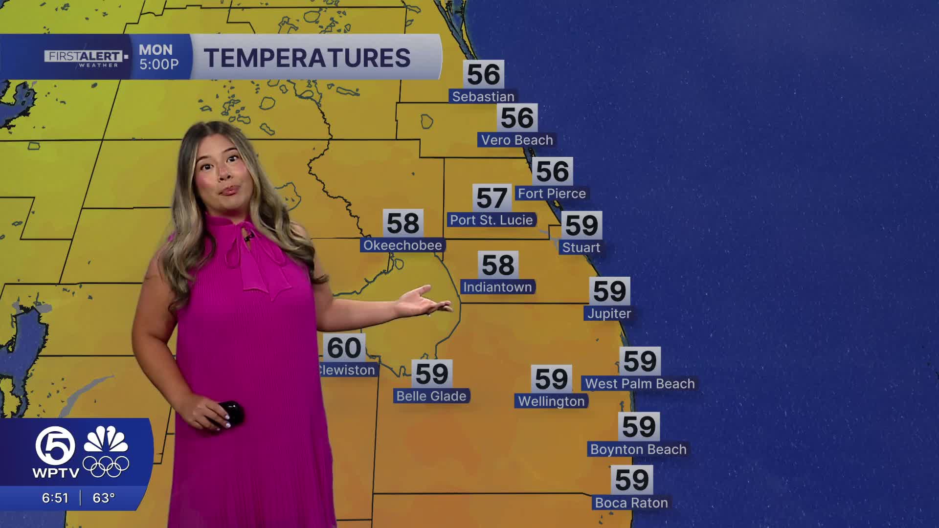
By Monday morning, lows will drop into the mid to upper 40s and afternoon highs will struggle to reach the upper 60s.
The coldest air arrives Monday night into Tuesday morning with inland communities dipping into the mid 30s, with low 40s along the coast.
Dry weather returns for the middle and end of the week, with a gradual warming trend beginning Wednesday.


