


WEST PALM BEACH, Fla. — South Florida continues to enjoy "chamber of commerce" weather for this time of year. Mainly dry conditions and seasonably warm temps will persist through the week.
High pressure remains in control, keeping our weather quiet and tranquil. A light southeasterly breeze may bring in some moisture, but any measurable precipitation is not likely.
MORE WEATHER: Radar | Alerts | 7-Day Forecast | Hourly Forecast
Once again, we could see some patchy fog early Wednesday morning, especially for areas near Lake Okeechobee. A high risk of rip currents continues for Broward and Palm Beach counties.
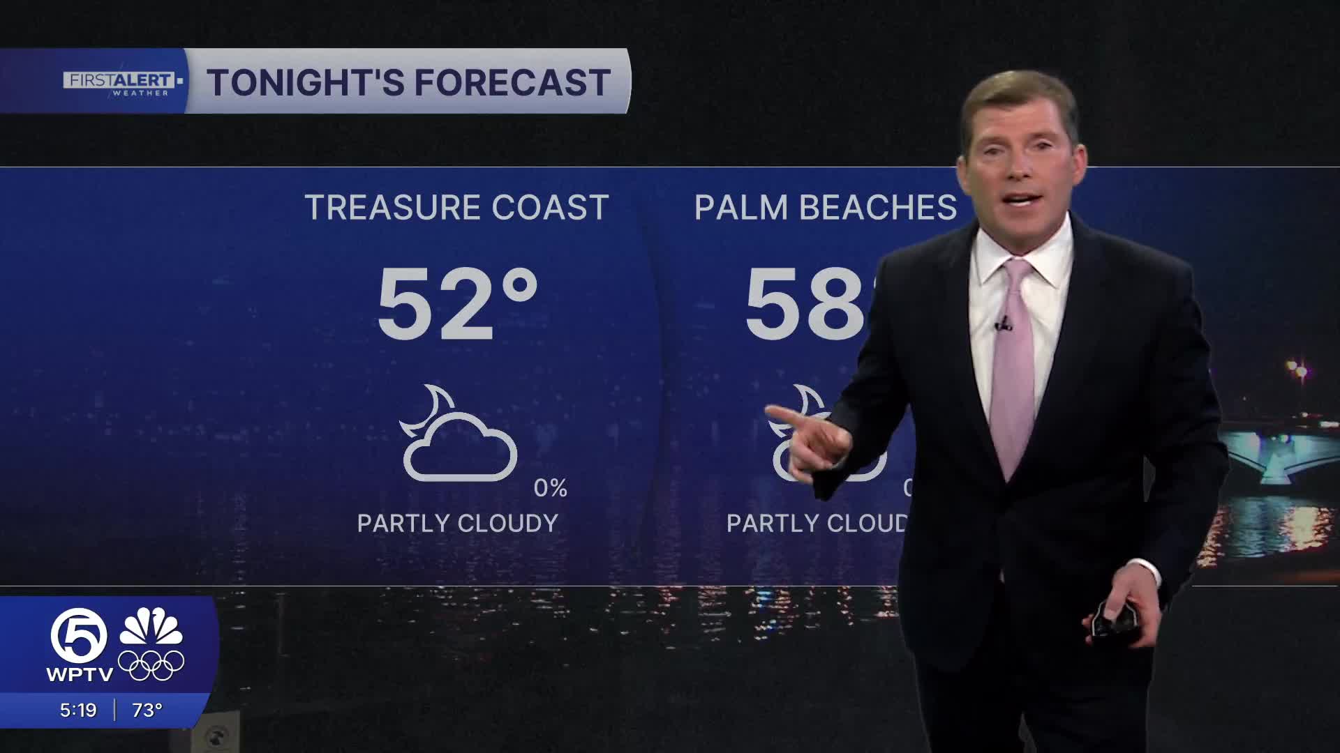
Temperatures will be delightful this week for most folks with afternoon highs in the upper 70s to low 80s each day. Overnight lows dip into the mid-50s across interior areas and the lower 60s along the east coast.
The only change for Wednesday will be an increase in cloud cover. High-level clouds from a disturbance in the Gulf will stream in during the day - but we'll stay on the dry side.
Later this week and into the weekend, the pattern becomes a little more active—but still low impact. A weak front could approach the area Thursday, though it’s expected to pass through mostly dry with very little change in temps.
Looking ahead to next weekend, a stronger weather system may bring a few light showers, but widespread rain isn’t expected. Even then, conditions look generally mild and manageable, keeping South Florida’s run of favorable weather going.
**Portions of this story were assisted by artificial intelligence tools and reviewed by a WPTV journalist to ensure accuracy, clarity, and adherence to editorial standards.


